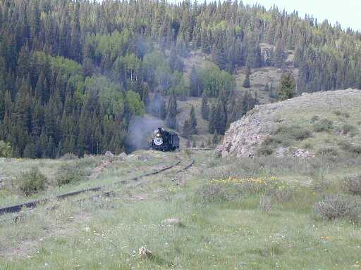
 These are some shots from the Rio de los Pinos shot in the area around Osier, CO. This is the half way
point on the Cumbres and Toltec Scenic Railroad that runs between Chama, NM and Antonito, CO.
These are some shots from the Rio de los Pinos shot in the area around Osier, CO. This is the half way
point on the Cumbres and Toltec Scenic Railroad that runs between Chama, NM and Antonito, CO.
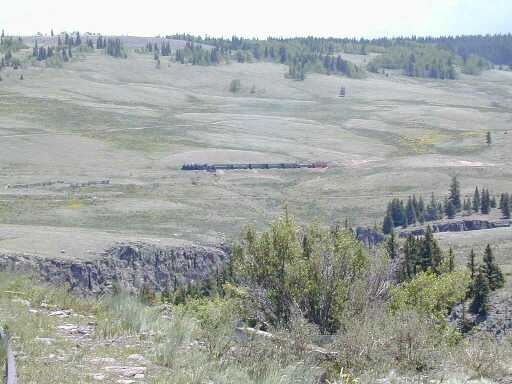
Mike Bleakley and I spent a couple days hiking and fishing the area for wild brown trout.The first shot is looking upstream over the top of the railroad station from the road into Osier. This is a pretty good view of the meadow section upstream. To access this section, you hike along the railroad tracks to a trail that will take you down to the river.
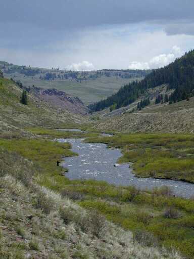
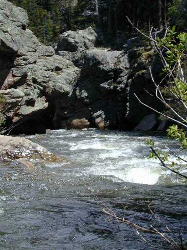 The second shot is of the river as it pluges into the Toltec Gorge that straddles the border
between Colorado and New Mexico. This is as far as I ventured downstream. To go any further, you would
need to negotiate a steep climb over the ridge. My felt soled wading boots wern't up to the task.
The second shot is of the river as it pluges into the Toltec Gorge that straddles the border
between Colorado and New Mexico. This is as far as I ventured downstream. To go any further, you would
need to negotiate a steep climb over the ridge. My felt soled wading boots wern't up to the task.
The fishing between Osier and the Toltec Gorge consisted of finding the deeper pools where the browns held. There is a lot of water that didn't hold many fish, even when it was fairly high. I manged to catch several browns out of two holes in a stretch of about a mile.
The pattern of choice on this day seemed to be a brown Chernobyl Ant. I tried a Stimulator, Humpy, Madam-X, and the only thing I could get a strike on was the ant.
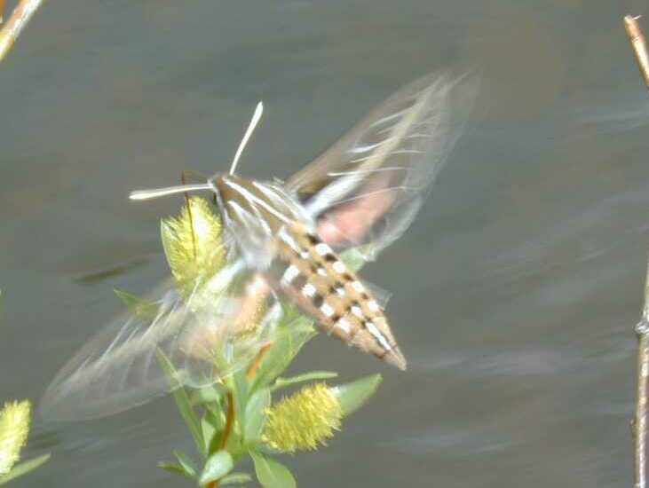 We've had quite a hatch of Sphinx Moths this year all over New Mexico. These big, colorful moths are
often mistaken for hummingbirds.
We've had quite a hatch of Sphinx Moths this year all over New Mexico. These big, colorful moths are
often mistaken for hummingbirds.
I saw this one feeding on some streamside plants, and it gave me an opportunity to try out the zoom feature of the Nikon Coolpix 950 that I was using. I took a series of shots of this little guy, which you can view here if you are interested.
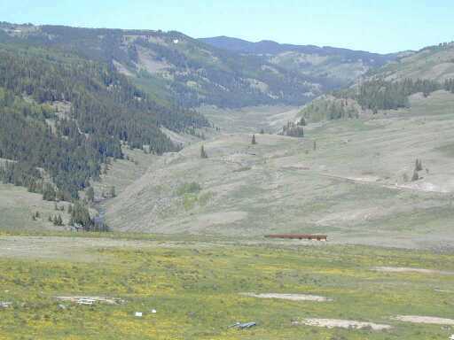
 The second day, we packed up camp, and parked at the railroad station. From there, we hiked along the
tracks to the meadow section upstream.
The second day, we packed up camp, and parked at the railroad station. From there, we hiked along the
tracks to the meadow section upstream.
This train is operated as a scenic railroad. Loads of tourists pile on in either Chama or Antonito and make the trip into Osier. I often wonder how many tourists now have a picture of me fishing in spots like this. It must be a beautiful trip, but I think hiking and fishing the area is more so.
 This is a shot looking down stream from the meadow towars the station. If you look on the left bank, about
a third of the way up, you can see Mike fishing.
This is a shot looking down stream from the meadow towars the station. If you look on the left bank, about
a third of the way up, you can see Mike fishing.
Notice the thunderstorm rolling past to the north. This storm missed us, but not by much. I get a little nervous around thunderstorms, especially when I'm carrying a graphite fly rod, and have to hike along railroad track on top of a ridge line to get back to my car.
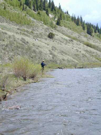 This shot of Mike
gives you an idea of the size of the river. When we were there, it was flowing at about 250cfs,
which is somewhat high, but is a lot lower than the 900cfs it hit during peak runoff in late May.
This shot of Mike
gives you an idea of the size of the river. When we were there, it was flowing at about 250cfs,
which is somewhat high, but is a lot lower than the 900cfs it hit during peak runoff in late May.
The browns in this section were a little bigger than below, probably due to the longer hike to get to them. Again, I was only able to get the fish to rise to a brown Chernobyl Ant. All the fish we were able to find were stacked up in deeper water next to undercut banks. If you could locate places that fit those specifics you would find fish. Anywhere else, nothing. The fish were a little shy too. If you lined them, they would dissapear.
Overall, it was a great two days. If you want to fish this stream, you need to get to it early. Later in the summer, the water gets low and warm, and the fish hide.