

 When we were planning a fishing trip to Taylor Park, I mentioned that it might be a
good chance to climb Mount Yale, since the trailhead on Cottonwood Pass was only
about 25 miles from where we would be camping. John Allison picked up on this and
thought we should go for it.
When we were planning a fishing trip to Taylor Park, I mentioned that it might be a
good chance to climb Mount Yale, since the trailhead on Cottonwood Pass was only
about 25 miles from where we would be camping. John Allison picked up on this and
thought we should go for it.
I had arrived at the Dinner Station CG in Taylor Park on Wednesday night. As I crossed over Cumberland Pass (12,000 ft.) toward Taylor Park on Wednesday afternoon the area was covered with the typical monsoon thunderstorms. I fished on Thursday, and was again driven off the stream at about 2 p.m. by thunder and lightening. I figured it did not looking too good for getting a shot at the mountain over the weekend.
 John arrived on Thursday night, with some current weather information. He said that
according to some friends in the know, Friday was supposed to be somewhat drier, and then
a small system was to move through on Saturday. With this info in hand, we decided to go
for it on Friday.
John arrived on Thursday night, with some current weather information. He said that
according to some friends in the know, Friday was supposed to be somewhat drier, and then
a small system was to move through on Saturday. With this info in hand, we decided to go
for it on Friday.
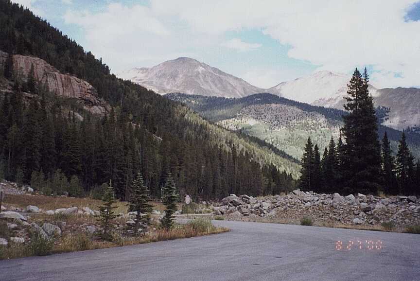
We left our camp in Taylor Park at about 5:30 a.m. and arrived to a nearly empty parking lot at about 6:30 (Hint: If you want any semblance of solitude atop a 14er, climb on a weekday). As we were packing up, only one more hiker arrived at the trailhead. There was one truck in the lot before we arrived, but we never saw that person on the trail.
 The guidebooks and trip reports I had read said that the trail was only about 4 miles to
the top. The information at the trailhead was a little different. It appears that they've done
some work on the trail, and made it a longer 5.7 miles each way. The hike itself was
uneventful. Pretty much you're typical straight uphill slog. There is a saddle at about
13,800 ft. and from there, you have to boulder hop your way to the top.
The guidebooks and trip reports I had read said that the trail was only about 4 miles to
the top. The information at the trailhead was a little different. It appears that they've done
some work on the trail, and made it a longer 5.7 miles each way. The hike itself was
uneventful. Pretty much you're typical straight uphill slog. There is a saddle at about
13,800 ft. and from there, you have to boulder hop your way to the top.
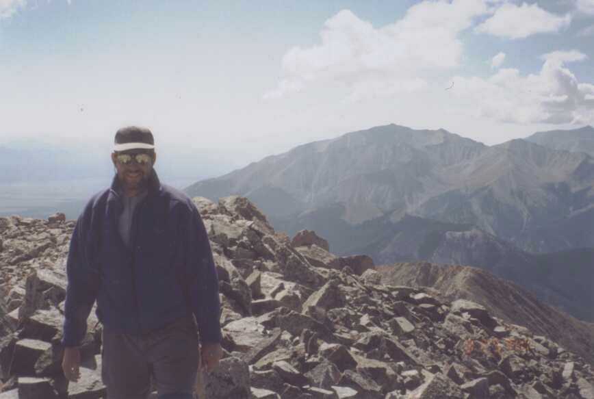
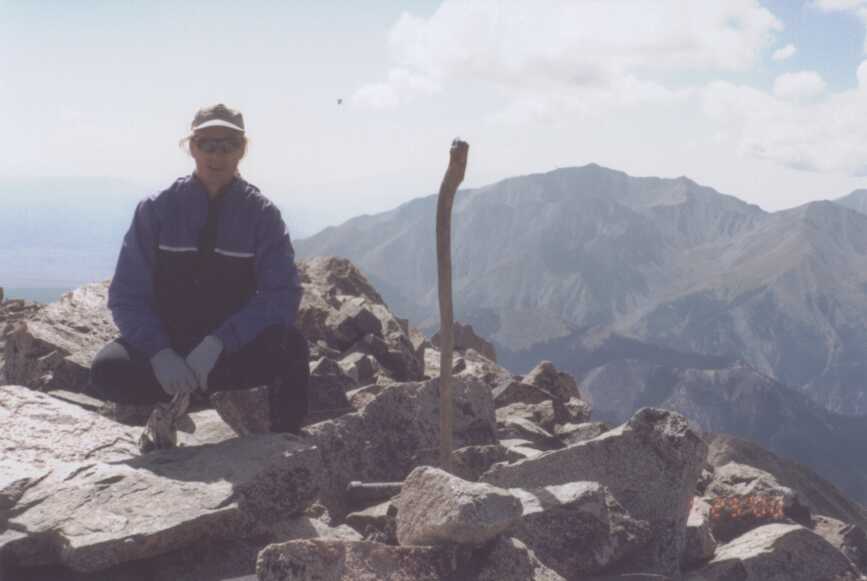
John, being in much better shape that I am, made it to the summit at about 10:30. After losing the trail on a false summit at about 14,000 ft., I finally made it to the top about 20 minutes later. The views from the top are, of course, stunning. To the north lie Mts. Columbia, Harvard, Belford, Oxford, and Missouri. To the west are the Three Apostles. And to the South, Mount Princeton looms large, with Antero, Shavano, and Tabeguache in the background. As we snacked and re-hydrated on the top, the clouds were starting to build a bit. We decided not to linger too long, and started back down.
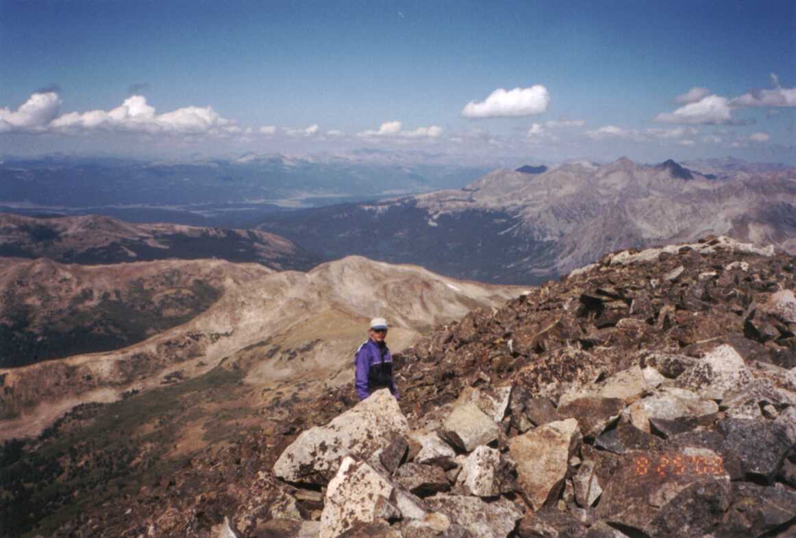
 As we worked our way down a long shoulder that runs from about 13,400 down to
12,700, we met another hiker heading the other way. The clouds were getting rather
ominous by now. He hesitated for a minute, looking up at the building clouds, and asked
us how long to the summit. John told him it was about an hour, and I suggested that he
better be careful at this point. He turned and continued to head up the mountain. We,
on the other hand, were making tracks to try and beat the rain down the mountain.
As we worked our way down a long shoulder that runs from about 13,400 down to
12,700, we met another hiker heading the other way. The clouds were getting rather
ominous by now. He hesitated for a minute, looking up at the building clouds, and asked
us how long to the summit. John told him it was about an hour, and I suggested that he
better be careful at this point. He turned and continued to head up the mountain. We,
on the other hand, were making tracks to try and beat the rain down the mountain.
Just above tree line, it started to rain a bit as we came across a woman wearing shorts, a fleece pullover, and with no rain gear. It turns out this was the girlfriend of the guy we passed on the trail. I don't think they really knew what they were getting into with regard to the weather. I made a suggestion that her boyfriend start a little earlier if he wanted to climb these mountains, and that it wasn't so much the rain they should worry about, but the lightening. She followed us back down into the trees and off the exposed ridge to wait for her boyfriend.
 Once below tree line, we took a short break. I needed it more than John did, but I
wanted to have another power bar and more water before continuing. By the time we
got back down to the trailhead, we were engulfed in a full-blown thunderstorm.
Once below tree line, we took a short break. I needed it more than John did, but I
wanted to have another power bar and more water before continuing. By the time we
got back down to the trailhead, we were engulfed in a full-blown thunderstorm.
This was probably the easiest 14er that I've climbed. Even though I decided to make it tougher on myself by not training at all for the hike. Also, this was the first 14er that I used hiking poles for. After doing Mt. Shavano last fall, my knees ached so bad that I swore off doing another one again. My friend Marcy told me that her husband had the same problem, and that hiking poles had made a world of difference for him. I would agree wholeheartedly with that assessment. While every muscle in my body was sore after the climb, my knees were in really good shape. The poles doing nothing for you on the way up, but really help to minimize the shock of walking down steep slopes.
