
You'll find mile markers, an occasional bench and a couple of shops (where one can buy a soda or bottled water) along the way.
This trail provides a challenging ride even for intermediate cyclists. Although the trail is relatively flat (as are most rail trails), portions of this trail lack tree & brush cover and are exposed to the wind. There are approximately 18 road crossings on this trail, some of which are county highways. Cyclists should use extreme caution.
Parking: Parking is available at both ends of the trail in Butler & Mansfield. There are several spots along the trail to park, including Bellville & Lexington. The parking lot closest to Route 71 is within a mile south on Rt. 97 (toward Bellville). The lot is just on the right before 97 intersects the trail.
Trail Map
Click here to view the Mansfield News Journal created trail map.

Some Trail Photographs
NOTE: These Photos are in order from Lexington to Butler.
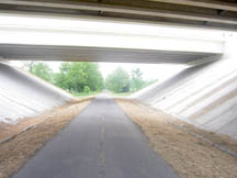
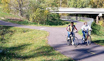 The OH 97 trail underpass in Lexington. Branch to left goes up to town level.
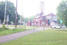
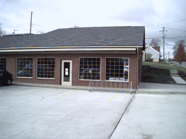 It then passes Y-Not Cycling shop.
 The trail goes into countryside on the way to Bellville.
 The trail's I-71 underpass, the halfway point.
 Trail users relax at the Ice Cream Shoppe in Bellville.
 OH 30 trail crossing near trailhead in Butler.
This is very close to trails end in Butler. There are plans for an extension to the Richland County line, to connect to a proposed Knox County Trail thru Fredricktown to the Kokosing Gap Trail.
 Main Page
