 |
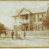
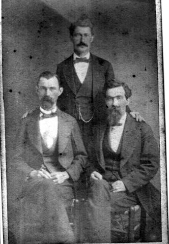
| Pictures from the St.Francis County Museum |


 News from
(1894-1933) Forrest City Times Newspaper(Thru 1933)
News from
(1894-1933) Forrest City Times Newspaper(Thru 1933)St. Francis County, Arkansas was created by The Arkansas Territorial Legislature on October 13, 1827 taking in part of Phillips County. Originally St. Francis County was larger than the 635 square miles presently contained within its boundaries. The county is bounded on the north by Crittenden County and Cross County, on the east by Crittenden, on the south by Lee County, and on the west by Monroe and Woodruff Counties. St. Francis County is divided into twelve townships; Garland, Heth, Griggs, Johnson, Telico, L'Anguille, Blackfish, Franks, Prairie, Goodwin, Madison, and Wheatley.
The St. Francis and L'Anguille Rivers cross the county from north to south dividing it into nearly three equal divisions. Crowley's Ridge runs nearly equidistance between the two rivers and has an average altitude of 300 feet above sea level. The seat of justice and the principal city is Forrest City located on Crowley's Ridge and in Madison Township. Forrest City is named for the Confederate Cavalry Officer, General Nathan Bedford Forrest. There are numerous smaller towns and villages, the most important of which are; Hughes, Widener, Madison, Palestine, Wheatley, Caldwell and Colt.
The site for the seat of justice was first located in the town of Franklin (Franklin no longer exists), originally named Cherokee Village when the area was Phillips County. The county seat remained at Franklin until 1841 when it was removed to the town of Madison. For a short period in the year 1855 the seat was moved to Mt. Vernon and returned to Madison where it remained until 1874. In 1874 the seat of justice became permanently located at Forrest City.
In the north part of the county is Colt.
An act of Congress in 1821 authorized the construction of the Historic
Military Road from Memphis, Tennessee to Little Rock, Arkansas. This road
followed a trail from the Mississippi River to the crossing at the St.
Francis River at a point near the present line between Cross and St. Francis
Counties and continuing on a course due west and nearly parallel with the
county line following a course through Taylor's Creek, later named Colt, and
continuing through L'Anguille Township and then on to Little Rock, Arkansas.
This road proved to be important to the early settlement of St. Francis
County.
The above information about St.Francis County was prepared by Loyd N.
Sybert. The purpose of this page is to aid you in your search for St.
Francis County residents. It is hoped that the information contained here
will help you; to understand how and when the county boundries changed, to
find the names of some of the prominent families, to use other sources of
information, and how to contact others researching families that may be
connected to your lines of research. If you would like to contribute your
information to this page or if you would like to publish a page(s) for this
County, please let me know.
contact Paul
V.Isbell.
 The Original Arkansas Genealogy
Project
Major Links
My Latest Pictures Online
History of Townships of St.Francis County
New High School Listings With Pictures
1959 Emmisary
Book By Scott Bond
A Deaths St.Francis Co.
Grandmother Parmelia Jane Kent/Prince/Hodges/McCormick's Ancestors
My Family History
1880 Census for St.Francis Co.
Records at Forrest City Library
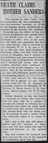
May 30,1935-Forrest City Times-Herald