
undefined
Ashfork
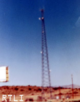
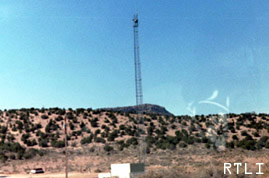
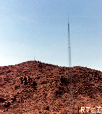
 A cell tower in Ashfork AZ, mile marker 144 on I-40.
Between Exit 66 and mile marker 160 exluding Ashfork
Cell tower at exit 66, unknown owner.
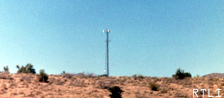
Yet another Cell tower, this one is at mm(mile marker) 77 on I-40. Once again unknown owner.

Local Service tower near Selingman. It is just across from mm114 on I-40
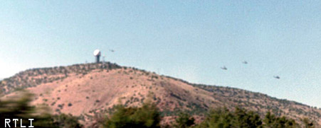
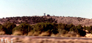
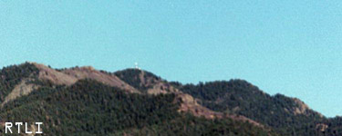
Radar station operating ARSR (Air Route Servailence(sp?) Radar) a few miles west of Selingman Arizona. Notice the Apache Helicopters flying around it. We saw them fly right underneath it. This, in fact could be used as a military radar. Location: Mt. Humboldt 33-58-53.130N 111-47-53.530W
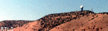
Here is another view of that radar station.
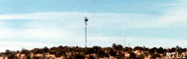
At&t Longline transmitter with accompaning building. This one is located near mm133 on I-40.
Local service(telephone) for a small town before Williams AZ. This is located north of mm160 on I-40. It is about 7 miles west of Williams.
Route 66 towns and towers
Three local service antennas for the town of Peach Springs AZ. The one on the left (tall) is for a local Railroad, and the other two are weather related.
The broadcast relay for the local railroad in Peach Springs. This tower broadcasts voice and other transmitions to the previous tower.
There are actually two towers in this picture. On the hill in the backround sits a relay station for some tower elsewhere(possibly even the tall one) while the tall one looks to be a local service(towing etc) buisness radio base station.
