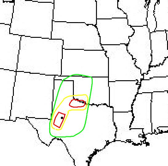
 19z Dewpoint
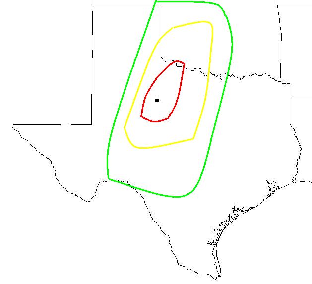
19z Surface Pressure
This is my first chase of the "99 spring season. At 10:30am Mickey, Winson and myself (Mike) are getting ready to set sail to northwest north-central Texas. Target area, Wichita Falls-Abilene. At this time, I have already checked the forcast discussions and viewed the surface and upper air analysis. I am quiet sure that I have picked the right target area. I then got a hold of the San Angelo discussion and it sounds like storms may start to develop a little bit south southwest of Abilene. With that in mind, believe we will head west on I-20 to Abilene to get ourselves in position to either go north or south from there. At 11:30am, I notify Mickey and Winson to let them know that we need to be leaving at 1:00pm. I still have to pack the van.
Well, finally we're off at 1:39pm. Which, really isn't that bad for us. odometer at start (28171)
Sky is cloudy, high clouds blanket us with low level cumulus moving in from the south. We had to stop at Wal-mart on the way in Stephenville to get an 8mm video tape for Michelle's camera and sunflower seeds(a chase necesity). At 3:02pm we exit Eastland on I-20 from Desdemona. Skies begin to clear, with thin cumulus clouds to the west northwest. The high thin cirrus clouds are moving off to the east leaving clearing skies to the west and northwest, our target area.
The mid-afternoon west-central Texas forcast discussion: Scattered t-storms will develop in west-central Texas this afternoon and tonight with some becoming severe. A warm and unstable airmass will continue across all of west-central Texas through this evening. A warm layer of air aloft is acting as a cap preventing t-storm development. However, as the dryline moves into the northwest big country late this afternoon there may be enough convergence to punch through this cap and allow rapid t-storm formation. Any storms that develop may quickly reach severe limits with very large hail and damaging winds the primary threat. However, it also appears that there will be sufficient shear throughout the atmosphere to make isolated tornadoes a threat as well. The area most likely to see any of these severe storms will be along and northwest from a Sterling City to Sweetwater to Haskel line. As a cold front overtakes the dryline late tonight and pushes across the remaider of west-central Texas more numerous showers and storms will be possible. Any of these storms may also reach severe limits, with large hail and damaging winds, once again, the primary threat. Spotter activation may be required. At 3:30pm we were 19 miles east of Abilene heading west. When we get about 10 miles east of Abilene I finally notice some crisp cumulus towers going up. The main one looked to be due west of us, probably somewhere near sweetwater. 4:12pm, stop at an allsup's in Merkel to get gas and food. The clouds we are watching have not broken through the cap yet they are still working on it, and moving rapidly northeast. We ran into a little slowdown just west of Merkel. We had to exit Dirstine road to go around a real bad traffic accident. Apparently a pickupran up under a semi. Both sides of the interstate were blocked off. It slowed us down about 15 minutes. At that time a  thunderstorm was developing in Roby that we were trying to get to. At 4:54pm we just entered hwy 70 east of Sweetwater heading toward Roby. A lot of cumulus trying to build at this time, as we keep an eye on the Roby storm. But now the Roby storm is actually in Hamlin moving northeast at 35 mph
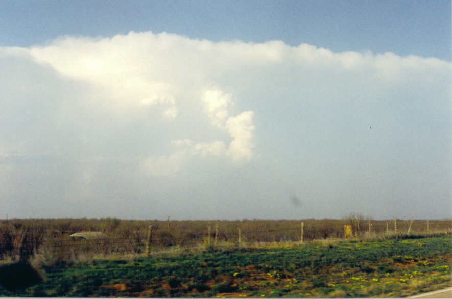 . We took a right on hwy 57 north of Sweetwater, to our north cumulus are trying to break the cap. The storm we are chasing does not look severe at this time. 5:38pm, off the back roads, on to hwy 92 five miles east of Rotan heading east to Hamlin. The storm is in Haskell county just to our NNE about 25 miles away. 6:00pm, we are 13 miles south of Old Glory, the storm is finally beginning to slow down abit as it approaches severe limits.
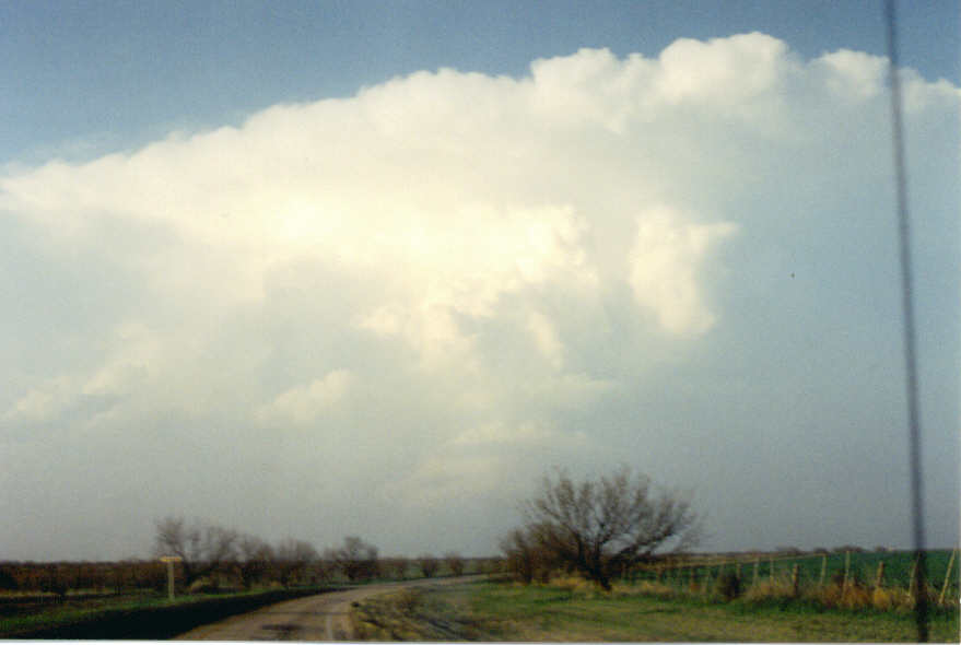 A severe thunderstorm warning has been issued for Haskell and Knox counties. At 6:21 we notice the backsheared anvil with a knuckel like appearance. The back of the storm is just south of Knox City as we drive north on hwy 6 about 10 miles away. 6:27pm I notice the striations on the south side of the storm
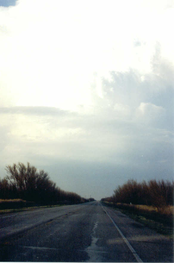 .
This is when we realize we've got ourselves a good one!
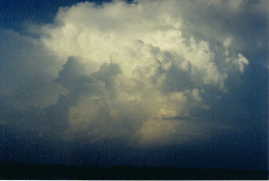 As we approach Knox City we also approach the rainfree base of this supercell. We noticed alot of red dirt getting sucked up into the storm from the south side, it was an awesome sight. 6:35 we finally see our first CG from this storm. We turned east on Hwy 222 toward Munday. The storm has dumped heavy rain in this area. Water standing in the ditches and ven on the roads in Knox City. This storm seems to have a more northward movement at this time.
6:41pm a couple miles east of Knox City, a weak rotating wall cloud begins to form. Halfway between Munday and Knox City we decide to stop and look at it since we were getting too close, it was less than a mile away. The wall cloud look a little disorganized, then I realized it was backbuilding almost directing on top of us. Then it moved on northeast and went away. At 7:08pm we stop again 4 miles north on Munday. Another wall cloud
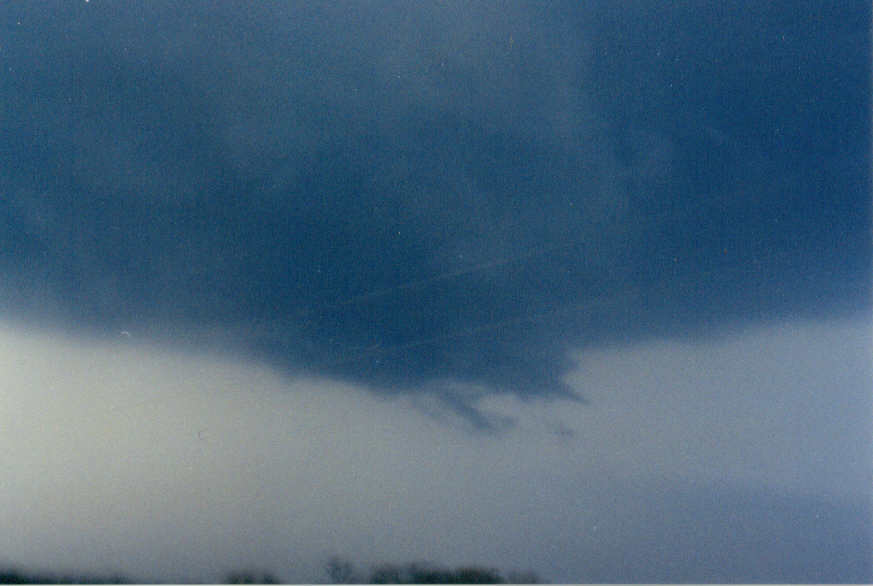 forms and this one looks like it's got strong rotation. Then a funnel starts to drop out of it. It gets a little over have way to the ground. I never saw any debris to tell if it touched ground for a brief moment or not. It was getting pretty dark at this time. The funnel went back into the cloud. And moments later the wall cloud was gone and never returned. We follow it for about 15 more minutes until we couldn't see anymore. We stopped and watch a little bit of lightning until the storm raced to the NE. There were tornado warnings out for Knox county, and then for Baylor county before the storm exited. Then, we take a two hour trip back home. I felted pretty satisfied after this chase.
