Colorado Scenery
San Juan Loop
Page Four

This portion of the San Juan Loop will be Red Mountain Pass and Ouray. It is the highest paved pass in the San Juan Mountains reaching an elevation of 11,075 feet in elevation. You can see plenty of deer and marmot. At the summit of the pass is beginning of Black Bear Pass road (to Telluride), it isn't marked clearly. At the beginning of the road is a sign that reads: "You don't have to be crazy to drive this road - but it helps - Jeeps only. There are also a few abandoned buildings you can explore too at the summit. On the way into Ouray is the turn for Engineer's Pass. This road gets a little hairy in spots - flatlanders don't like it much! There are areas where the cliffs are straight up and down and it's quite a long ways to the bottom. When we went through at the beginning of July a portion of the southbound lane was eroded away (they had it well marked) so be cautious while traveling this road.

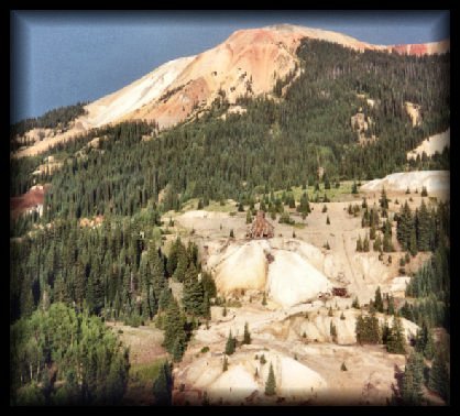
An old mine and mine tailings you see along the way.

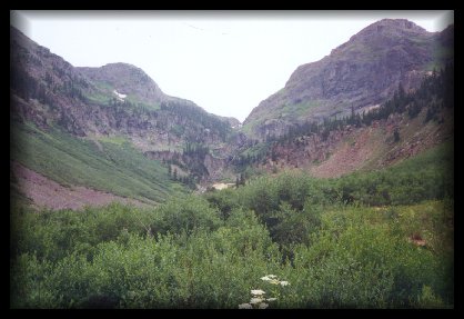
One of the many pretty views along this drive.

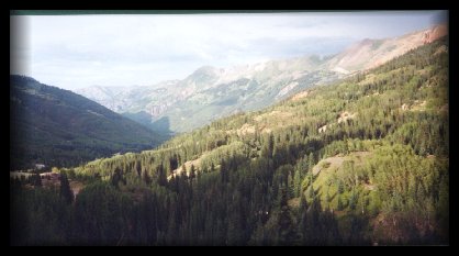
Looking down a valley towards Ouray.


This photo was taken last year when we rode the bike over Red Mountain Pass. This is the summit.

A Chipmunk

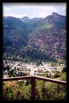
Overlooking Ouray from Ampitheater Campground.
If you want to get a great overview of Ouray turn at the Amphitheater Campground exit off of Highway 550, it's a short, paved drive up but it is well worth it.

Yule Marble Quarry Area -
Garden of the Gods -
Monarch and Independence Pass -
Telluride Page One -
Telluride Page Two -
Yankee Boy Basin Page One -
Yankee Boy Basin Page Two -
Yankee Boy Basin Page Three -
Crystal -
San Juan Loop -
San Juan Loop Page Two -
San Juan Loop Page Three -
San Juan Loop Page Four -
Owl Creek Pass -
Slate Road -
Rocky Mountain National Park -
Rocky Mountain National Park Page Two -
Miscellaneous Scenery
Click
HERE to go back to Main Page


View My Guestbook Sign My Guestbook Sign My Guestbook
Thank you :)
Grumpy2nam@aol.com
©1997 - present
Grumpy's Gathering Place
Web Design by Grumpy2nAM

|