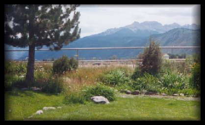
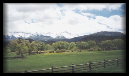
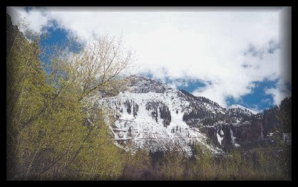
Colorado Scenery - San Juan Loop
This trip was awesome! It is designated as a Scenic & Historic Byway, USFS Scenic Byway and an All-American Road. Estimated driving time is 1 to 2 days, the length is 233 miles. This paved road has year round maintence. The best time to travel is June through October, the busiest time is July and August. The mountain passes are sometimes closed for brief periods of time, sometimes as long as two days because of heavy snow storms and/or slides in the winter. This area abounds with four wheel drive trails, hiking, backpacking, bicycling, hunting, photography, kayaking, dirt biking, motorcycle touring, fishing, etc. There are plenty of gift shops to visit in the towns you pass through, and many, many attractions such as the history, ecology and geology along the way. We started our trip at Ridgway, on Highway 62 to Placerville. There we took Highway 145 to the southeast until Cortez. There you take US 160 to Durango and then to US Highway 550 back to Ridgway. Below are a few of the photos we took along the way - there will be 4 pages of this trip.
Yule Marble Quarry Area - Garden of the Gods - Monarch and Independence Pass - Telluride Page One - Telluride Page Two - Yankee Boy Basin Page One - Yankee Boy Basin Page Two - Yankee Boy Basin Page Three - Crystal - San Juan Loop - San Juan Loop Page Two - San Juan Loop Page Three - San Juan Loop Page Four - Owl Creek Pass - Slate Road - Rocky Mountain National Park - Rocky Mountain National Park Page Two - Miscellaneous Scenery Click HERE to go back to Main Page
View My Guestbook Thank you :)
©1997 - present |