<>
A
Cold War Tragedy
The
crash of B-36D 44-92071
A sad fact of military service is the ever
present possibility
of death, even during peacetime. This can
occur during training,
or during an exercise. In the case of this
B-36 it happened
during a simple ferry flight from Carswell Air Force
Base to Biggs
AFB. What should have been a very routine
flight ended in the
death of nine servicemen.
44-92071 had been built as a
B-36B-5-CF, leaving the
Convair factory at Fort Worth in 1949. She was
later converted to
B-36D standard with the addition of jet pods and
other details.
For several years she served with the 7th
Bombardment Wing based at
Carswell AFB. On the morning of December
11, 1953 she left
Carswell for a little over a three hour ferry
flight to Biggs AFB
and a transfer to the 95th Bomb Wing. Unfortunately
that appointment would not be kept. That
flight ended
approximately four and a half miles southwest of
Biggs at the 5,200
foot elevation on the west side of the Franklin
Mountains.
That flight had departed Carswell
at 12:15 CST (1815
GMT) and crashed at 14:37 MST (2137 GMT).
Those times are drawn
from the USAF crash report. While the
takeoff was
established from logs at Carswell, the crash time
was based on loss
of contact with the aircraft at 2137 Zulu. The
flight had been
uneventful until placed in a holding pattern of Salt
Flats, Texas for
fifteen minutes due to weather conditions at El
Paso,
Texas. From that point on weather would play a
determining
factor. Rather than restate the evidence a
copy of the crash
report provides the best sequence of
events and
postmortem of the accident.
The wreck site
today.
I first visited the wreck site in 1976
and returned
maybe three to four times in the next six years. For
the next
twenty something years work and family took priority and it
was not
until May 27, 2008 that I was able to make a return
visit. During
those intervening years I discovered that the mountains had
become
steeper and there was less air then there had been
before. There
were also a lot more rocks and gravity had become stronger.
Wives are not interested in this sort of
adventure,
so a friend and I had agreed to make the climb. As
afternoon
temperatures can already approach 100 F we met at Village
Inn (does
that make us Village idiots?) for breakfast at 0600 and
started our
climb. The wreck is located about a quarter of a mile
North of
Ranger Peak and a couple of landmarks make it rather easy to
find, the
easiest to locate is a rock that looks like a thumb.
This is just
above the site and with a pair of binoculars one of the main
gear can
be seen.
The starting point is roughly 4,200 feet
in altitude
and the final site is about 5,200 feet. That is "only"
a thousand
foot change in elevation. It is also a difficult climb
and not
one for someone in poor physical shape. It is hard
enough for
someone in mediocre shape. Arduous would be an
overstatement, but
it is a trying climb. A winding dirt road leads to the
base of a
gully that runs directly up to crash site. From there
up it is
just plain old fashioned work. From this point up we
started
finding bits and pieces, eventually becoming bigger
pieces.
We reached the wreck about an hour, or so after starting the
climb and
discovered that not much had changed in the three decades
since my
first visit in 1976. There is still a good deal of
debris
scattered about: Landing gear, prop blades, a J47 engine and
many small
pieces. Still evident are areas of slag left from
burned aluminum
and magnesium. After the crash the only intact
portions of the
B-36 were the outer wing panels outboard of the
engines and the
tail. Those portions were destroyed by the Air Force
in early
1954, but a great deal still remains.
We had planned the hike so as to allow
most of the
climb to be shaded by the mountain and that plan worked
fairly well,
the sun only striking us well after we reached the
wreck. As the
sun climbed over the mountain the temperature rose rapidly,
so we
started our decent. While not quite as desperate as
Riddick's
race against the dawn across the surface of Crematoria,
there was a
natural urge to get out of the (now) hot sun. Even the
snakes
stayed inside their burrows that day. Managing to
avoid the
yucca, Spanish dagger and prickly pear and most importantly
not taking
a tumble, we were back at the car by 1000.
The crash occurred on an cold overcast
day when the
mountain tops were covered by clouds, morbidly referred to
as
cumulogranite by many in aviation. There were snow
flurries
recorded by the weather service and undoubtedly the wind was
blowing. As the accident happened in mid afternoon and
the sun
would set around 1630 MST the first personnel most likely
arrived after
dark. On a day like that helicopters would not have
been
practical which meant a long cold climb in the dark, though
witnesses
reported that the fire from the crash burned off the
overcast directly
over the crash. The climb might have been partially
lit by the
fires that burned for hours.
Those men
killed in the service of their country that day were:
Lt. Col. Hermen Gerick
Aircraft Commander
Major George C. Morford Pilot
Major Douglas A. Miner
Navigator
1st Lt. Gary B. Fent
Flight Engineer
M Sgt Royal Freeman
Radio Operator
A/1c Edwin D. Howe
Gunner
A/2c Frank Silvestri
Gunner
1st Lt James M. Harvey
492nd Bomb Squadron Staff Flight Engineer
1st Sgt Dewey Taliaferro
Passenger
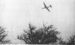
2071 is shown just moments before
the
crash. The right wing is dipped as the airplane
turns more
towards the north east. By this point the B-36 is
below the
overcast with the terrain rising rapidly ahead of
it. (I have
seen this picture in the past but have never seen credit
as to the
individual that took it. While researching the crash
reported in
contemporary newspaper accounts I discovered the same
photo on the
front page of the El Paso Times from 12 December,
1953. The photo
was taken by John Vernon.)
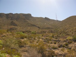
This image gives a clue as to the
terrain the
site is located in. The orange lens flare in the right
center of
the photo is just slightly to the left (north) of the impact
area.
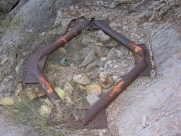
This is a support inside the wing for
the
cooling duct for one of the R-4360s.
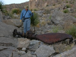
The piece most easily identified from
the
ground is one of the main landing gear. From a
distance I saw the
shine off of the chrome portion of the Oleo strut and
thought that it
still appeared pristine. However, when I actually
climbed up to
the gear it was apparent that the fire had discolored the
metal.
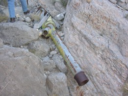
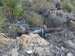
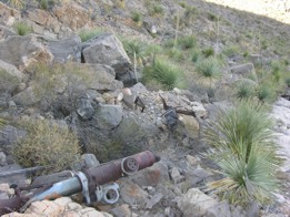
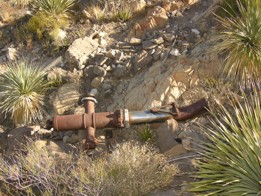
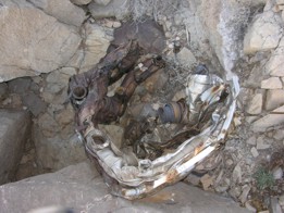
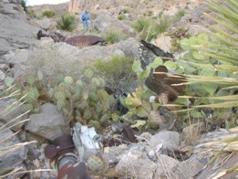
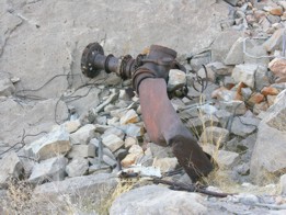
I believe that these are all components
of the main
gear(s).
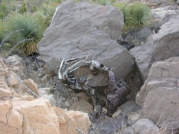
The nose gear was tossed down into one of
the
ravines in the area. The mount for the nose wheels is
sheared off
giving a good indication of the force of impact.
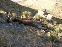
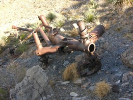
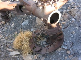
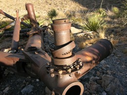
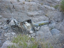
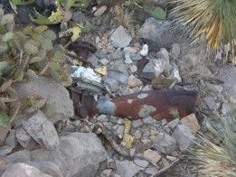
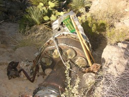
Many steel and stainless steel parts are
still
present including exhaust collectors and shrouds for the
R-4360s.
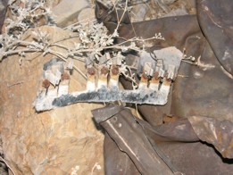
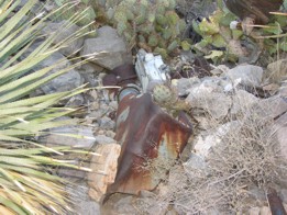
There are also numerous small parts like the fuse panel in
the last
photo.
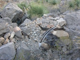
Most of the propellor blades are still present, a few still
attached to
their hubs. These were the earlier round tipped prop
blades.
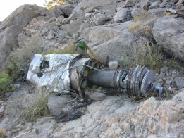
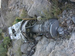
One of the J47s is easily found. It
is a good
question as to where the other three went. Anyway, the
jets were
not operating at the time of the crash, all damage being
caused by
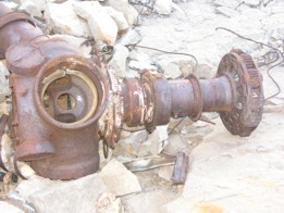
impact. The thing that looks like a Tiki Torch is an
insect
trap.
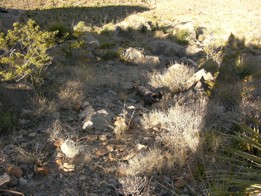
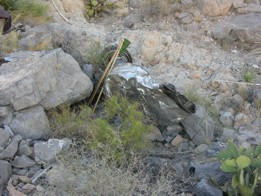
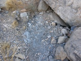
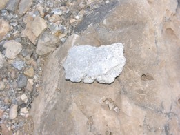
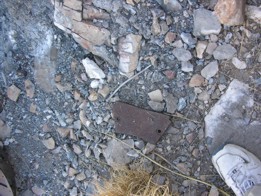
The areas of burned aluminum/magnesium
were
mentioned above. The lump is a chunk of melted
aluminum and the
rusty piece in front of my shoe is a brake pad.
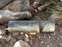
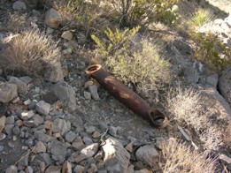
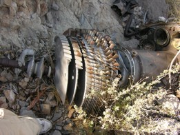
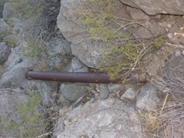
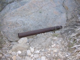
A couple of unidentified parts are these
splined
shafts. Both are cracked attesting to some pretty
strong forces.
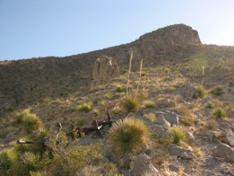
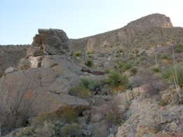
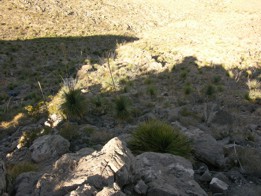
This photo (hopefully) gives some
impression of
the ruggedness of the area.
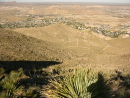
The view is a good one from this
area. The
first photo shows the dirt road that we followed to the
gully leading
to the crash. The area we parked at is behind the
white water
tank to the right. In the background is the Rio Grande
and New
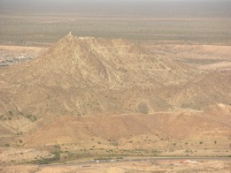
Mexico beyond. The second photo is of Mt. Christo Rey
about 2 1/2
miles ESE of the crash.
To
return to...
For
comments and suggestions:

My
guest book is on the main page.
Created 05-28-08
Updated
02-21-2012
Clifford
Bossie
