Maryland was one of the original thirteen colonies of English settlers established in North America. The first ships landed settlers on March 25, 1634 in what is now Saint Mary's County. The original settlement was intended as a place that English Catholics could enjoy freedom of worship, but with future population growth and changes in the attitude of English government, Catholics found themselves a persecuted minority.
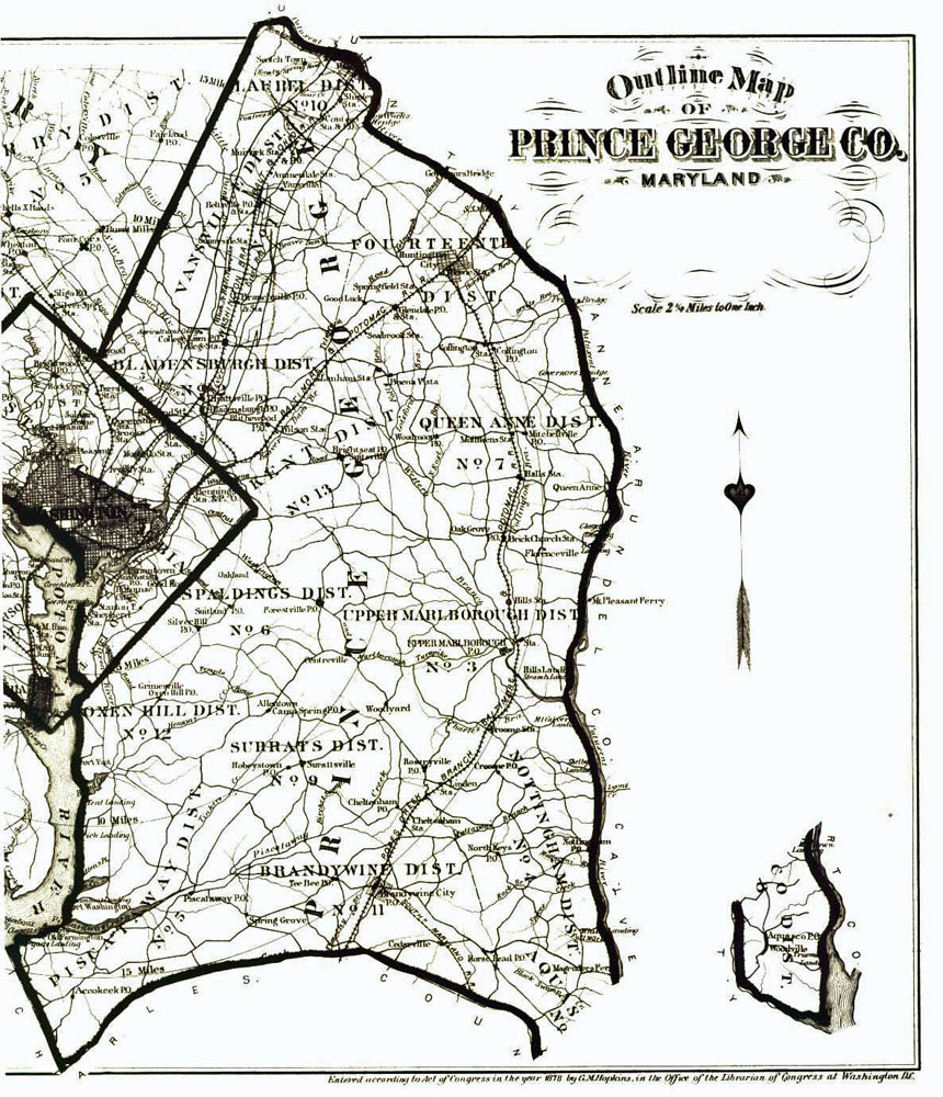
Prince George's County, Maryland was established in 1695 from northwestern parts of Charles and Calvert Counties. The geography of waterways established political boundaries and Prince George's was all the land lying west of the Patuxent River (border with Calvert) and north of the Mattawoman Branch off of the Potomac River (border with Charles County). The northwestern border of the county was ill defined and ran into western Maryland as far as there were white settlements. The Potomac, which generally has a northwestern orientation, flows northward along the western border of the county with Virginia. With the establishment of Frederick County, Maryland in 1748 Prince George's County would become more geographically defined.
Subdivisions of the county existed both of a religious and secular nature. The Church of England was the established Church by law and other Christian religious sects were not officially recognized. The church divided the county into parishes, the boundaries of which changed as the population expended and new churches were established. Some records, such as the census of 1776, mention parishes as subdivisions of the county. More commonly used were the secular subdivisions called Hundreds. These had their roots in England and were approximately the land upon which 100 families lived. In the early 19th Century the use of the term Hundred fell slowly out of favor and the term District or Election District was increasingly used. These geographic subdivisions were established by a series of redistricting laws passed by the Maryland Assembly.
In 1790 Maryland and Virginia ceded land to the Federal Government for the establishment of a seat of the Federal government. Part of this land was cut out of the northwestern Prince George's County. In 1800 the Capitol was moved from Philadelphia to Washington. In 1846 Alexandria, which had been part of the District of Columbia, was returned to Virginia. The part of the District, which had been Maryland was called Washington County of the District of Columbia and contained land from the Maryland Counties of Prince George's and Montgomery (established 1776 from the southeastern part of Frederick County).
It is important to understand the geographical background of an area in your ancestors lived. John Lanham's original land was located in the Piscataway region of Charles County, which became southern Prince George's County. Population pressures caused his descendants to move in a northwestern direction into the more northern part of the county and later to the District of Columbia and western Maryland.