
A small storm
came across the upper midwest & across
the lower Great Lakes. A weak storm in
the mid-Mississippi Valley was to join
it and be around Pittsburgh,PA early on
the 13th. Forecast called for 1-3" or
2-4" depending upon who you listened to.
I felt that with the mild winter, water
temps were above average and would have
rain mix with the snow or change to all
rain. South of LI the water
was 47 degrees & near Boston was 41.9.
Some colder air was in Northern New
England & it was expected to move south.
I felt that we would get maybe an inch
of wet snow.
A secondary low was to develop just off
the New Jersey coast.
RESULTS Some light snow
started around 8 AM on the 13th. It
mixed with & changed to sleet, which
ended by 9:30 AM. Received a dusting of
snow/sleet. It was dry until 2
PM when a few flakes fell. Mistlike snow
started to fall at 3 PM.
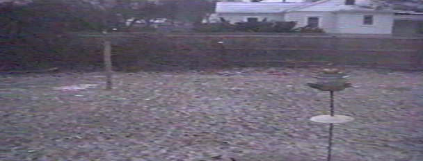 |
This ended around 5 PM, leaving 1/4" of snow on the ground. The winds increased during this time, the temps started to fall, & the baro started to rise. The storm was moving away. We really didn't have any rain. The somewhat higher amounts of snow were just to the north, but my forecast was closer for amounts here.
Click to return to January, 2000 OBS page.
