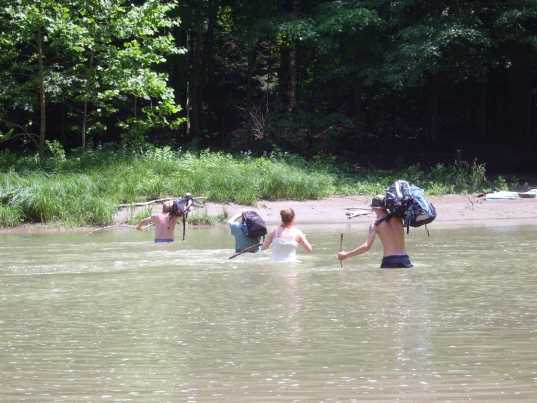
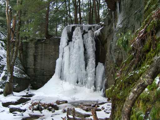
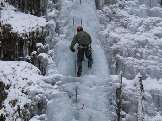
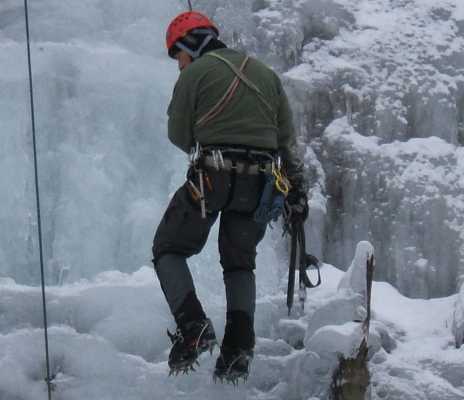
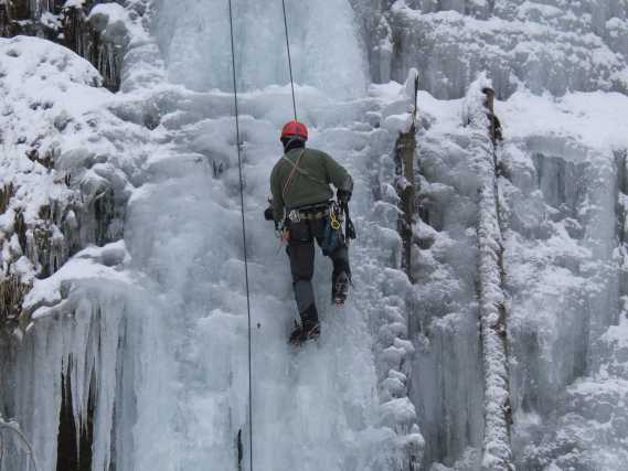
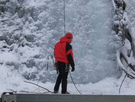
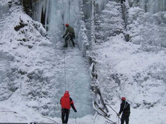
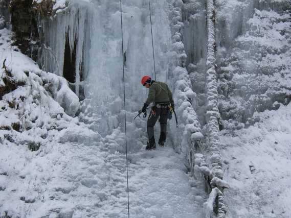
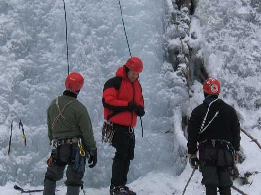
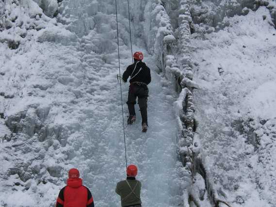
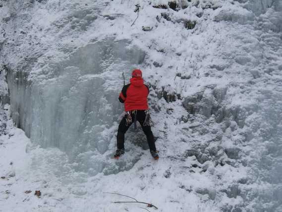
Sunday Feb 17th 2019
Our last adventure- a visit to the Gifford Hole Cave in Dana Heights!
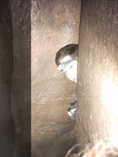
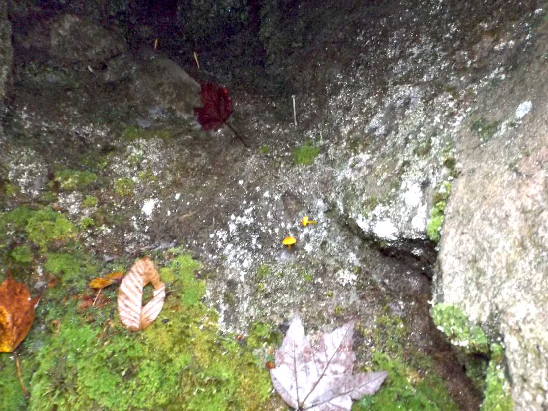
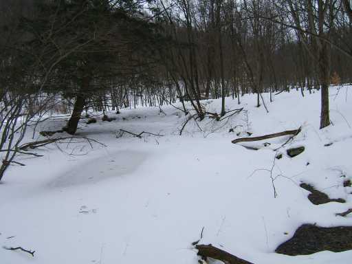
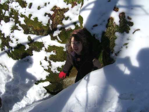
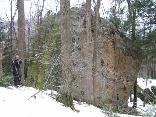
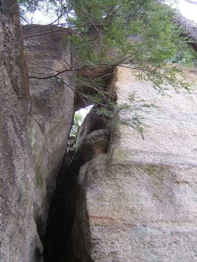
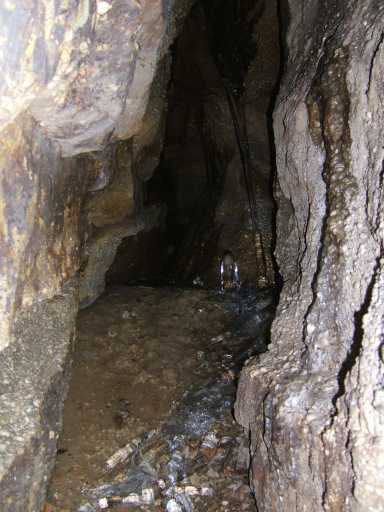
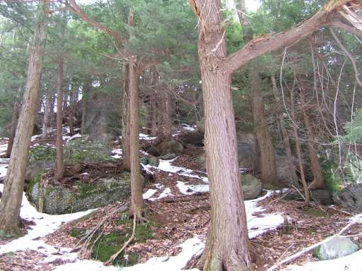
The Gifford Hole Cave in Dana Heights
Our companion Facebook page can be found here:
Allegheny Outdoor Adventures Facebook Page
PS- Please pass this on to whomever may be interested!
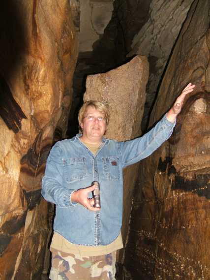
"Stony"
Vist to a larger cave on Sunday Oct 28th 2018 (invite only)
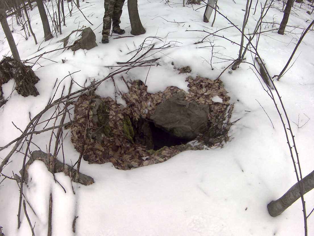
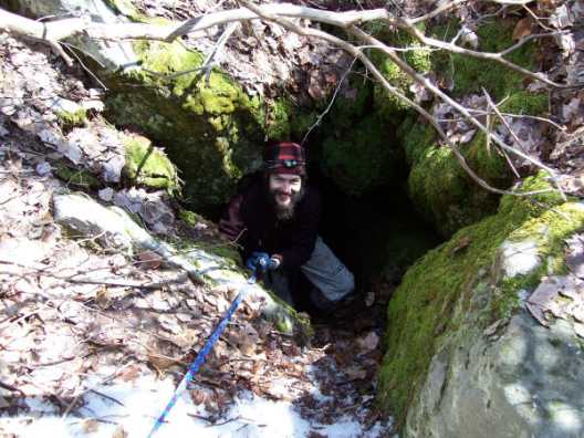
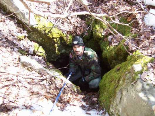
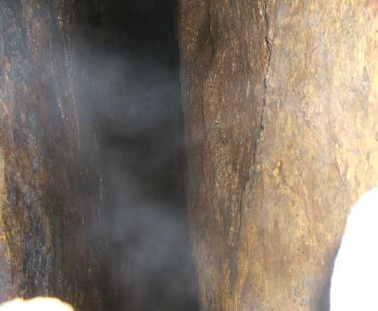
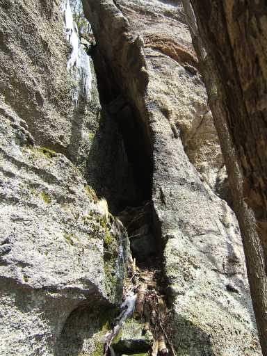
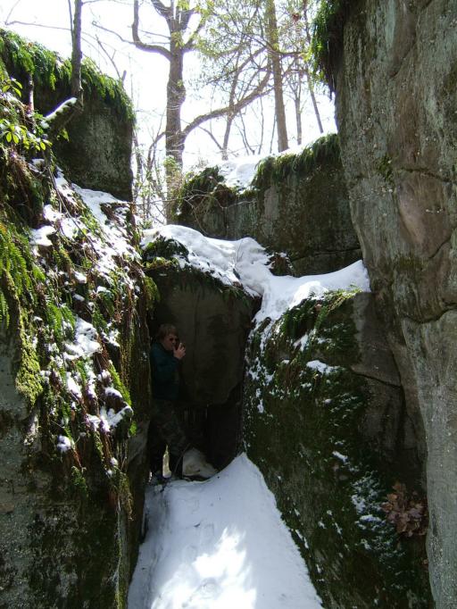
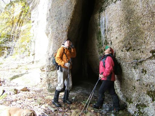
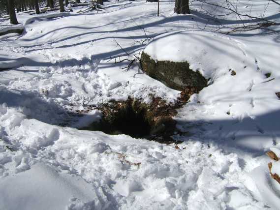
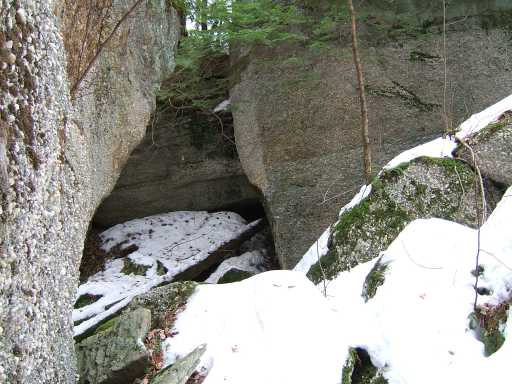
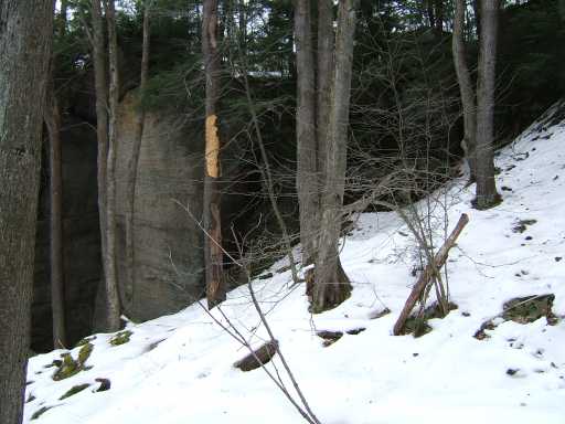
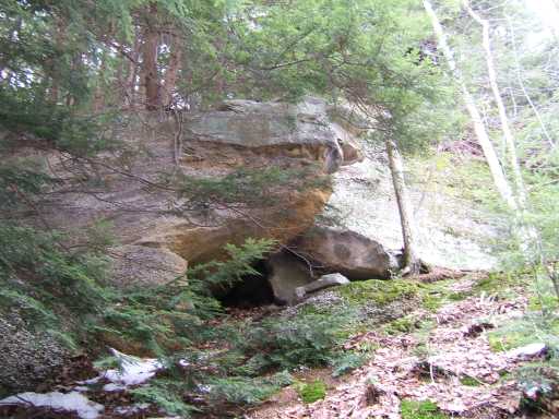
Cave opening
Cave opening
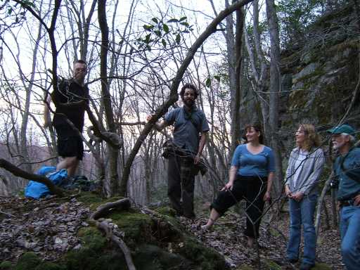
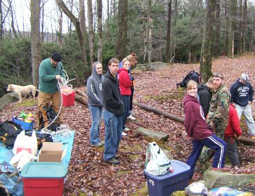
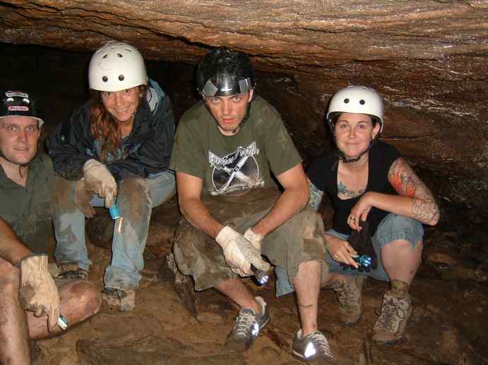
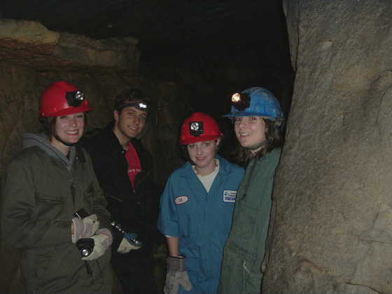
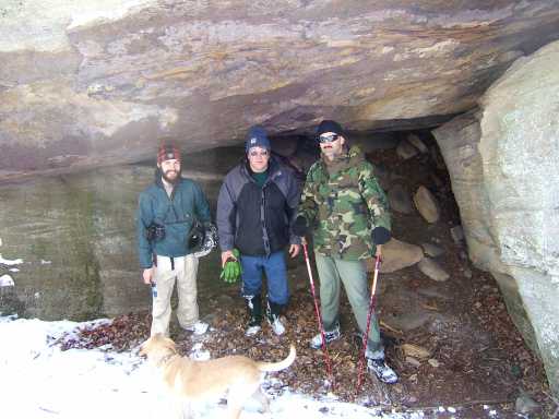
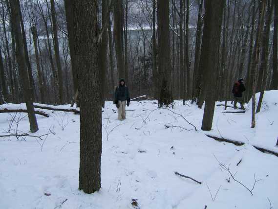
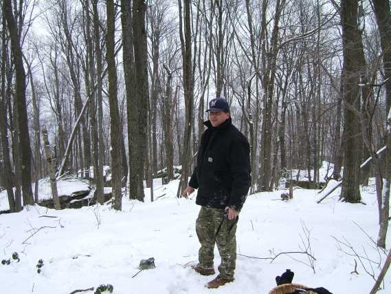
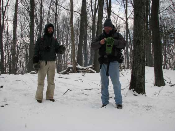
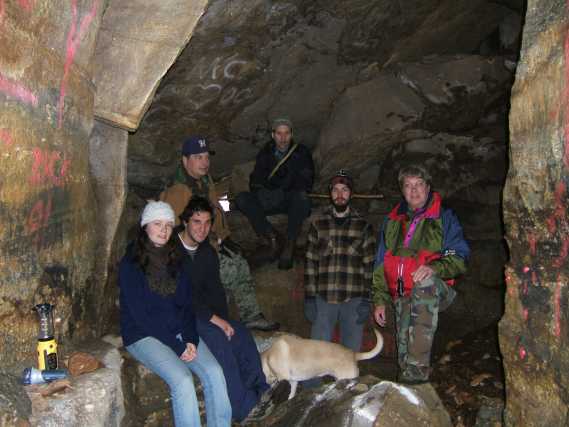
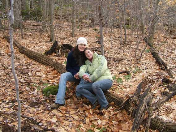
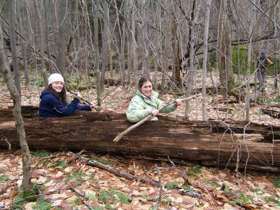
Jeremy, Nick, Joan, Valarie, And Bill
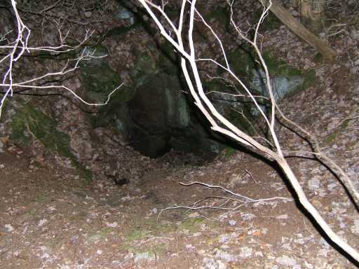
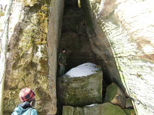
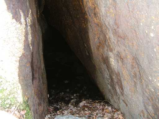
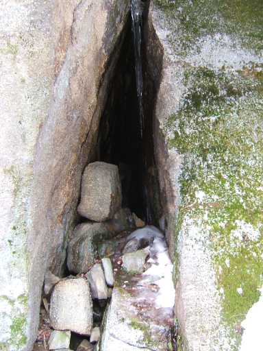
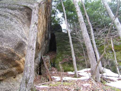
Looking into the cave opening

The whole gang after dark!
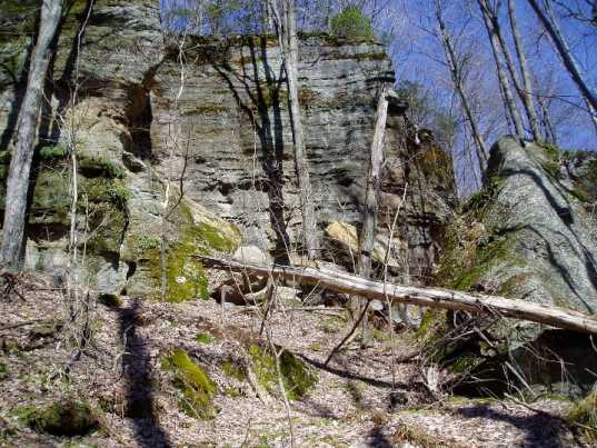
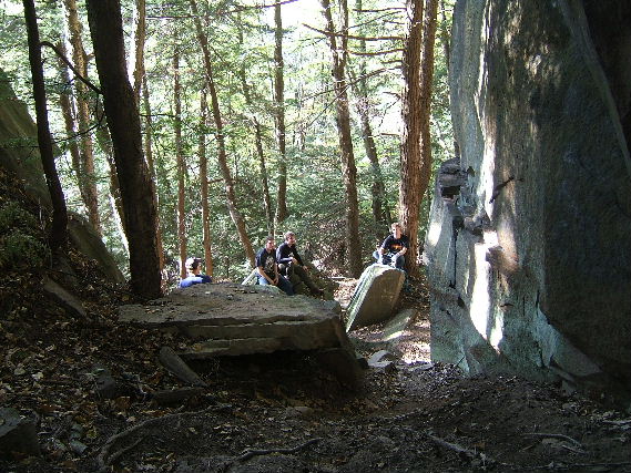
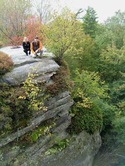
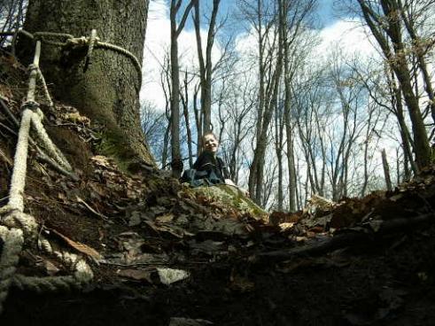
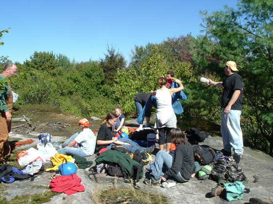
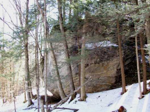
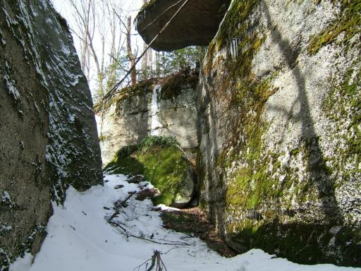
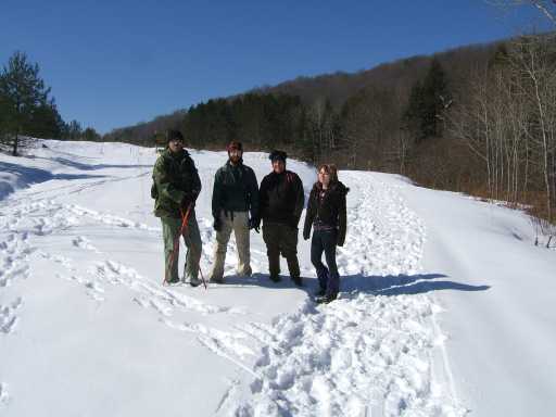
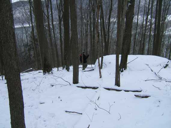
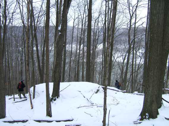
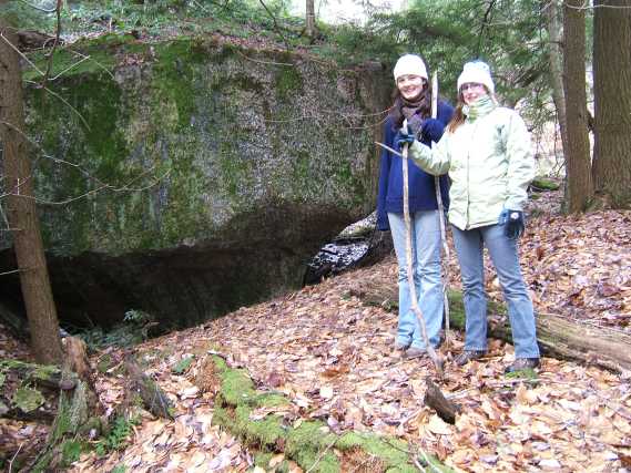
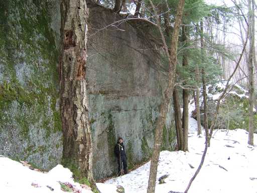
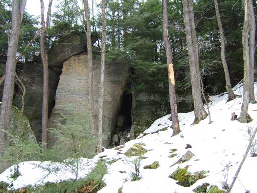
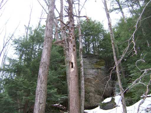
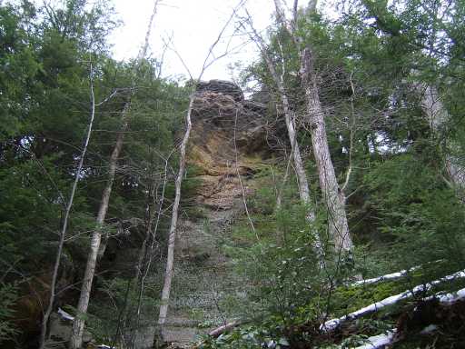
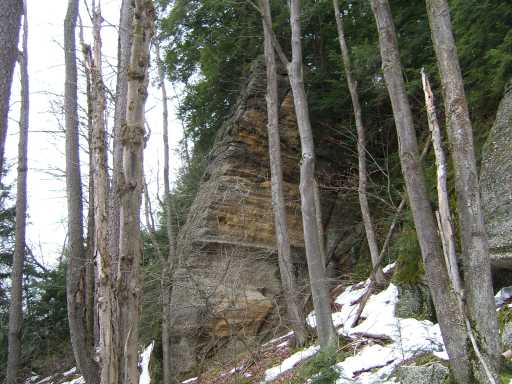
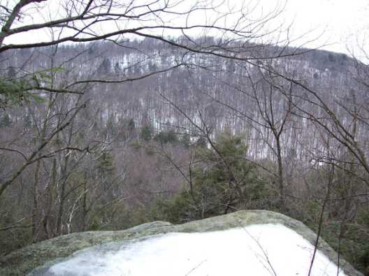
Where we first arrived at the rocks
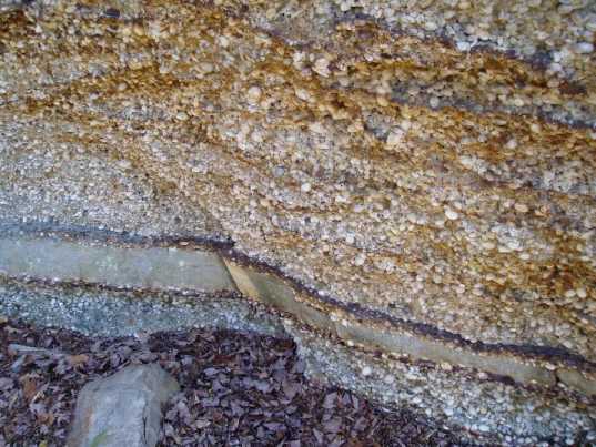
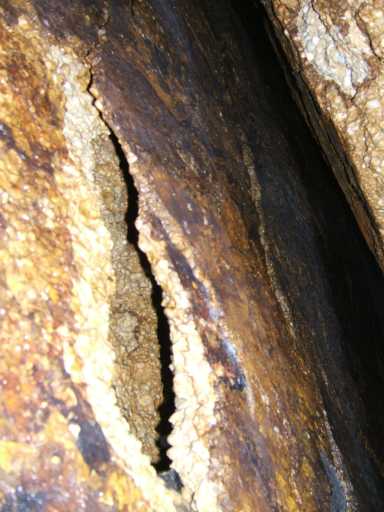
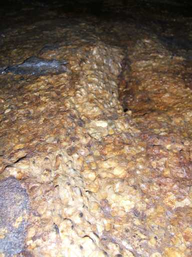
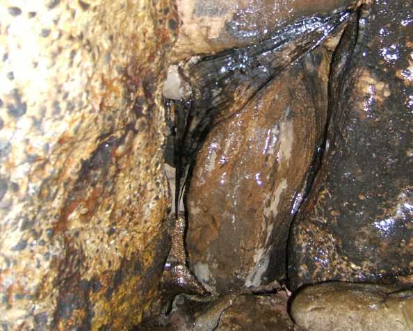
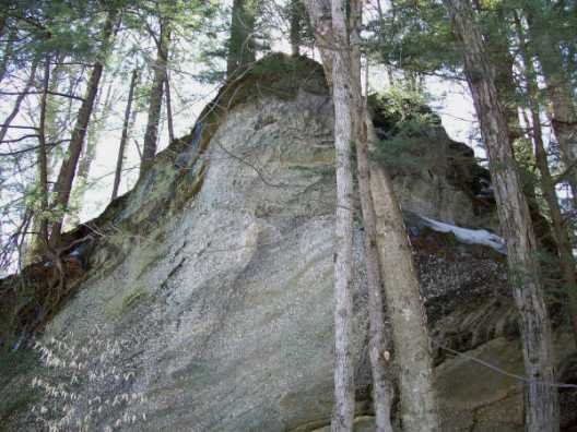
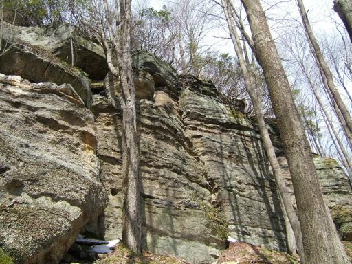
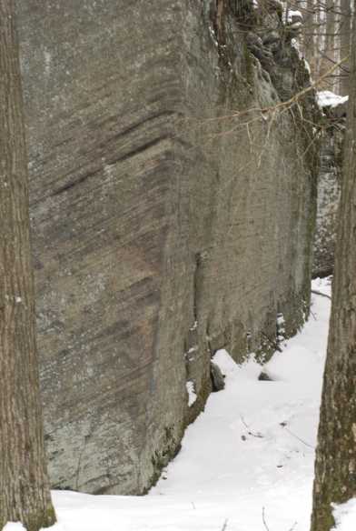
Layers of sandstone and Iron in the Olean Quartz Conglomerate
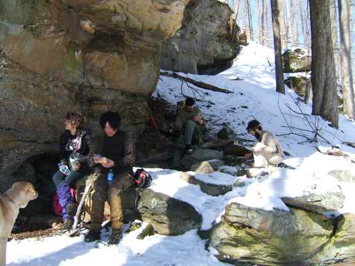
The cave near the lunch spot
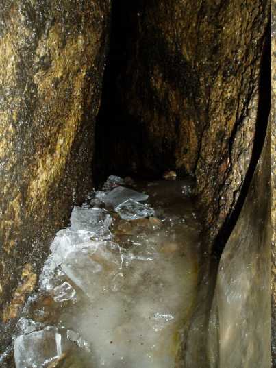
Ice blocking the passage
At the "Big Cave" (yet unnamed)
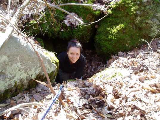
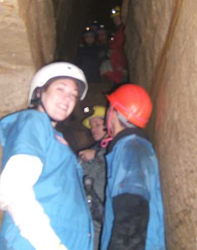
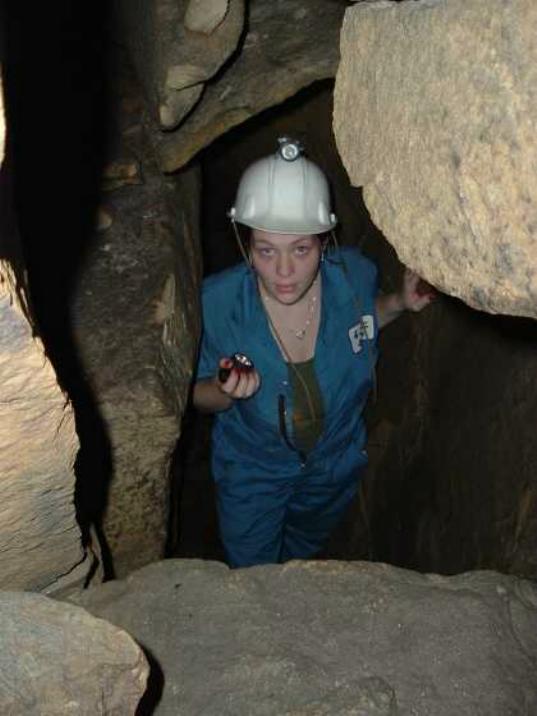
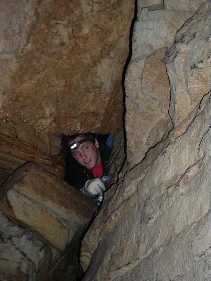
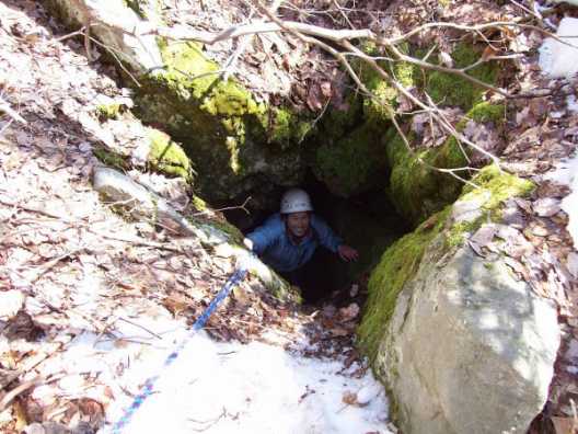
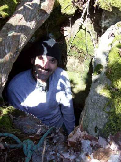
Chickey entering the cave
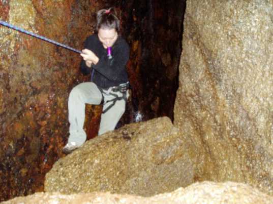
Chickey going down
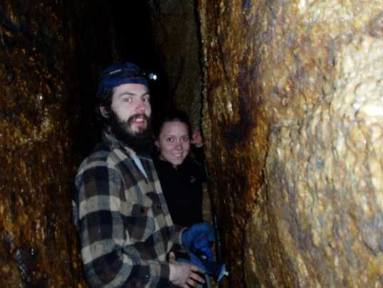
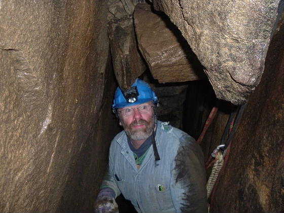
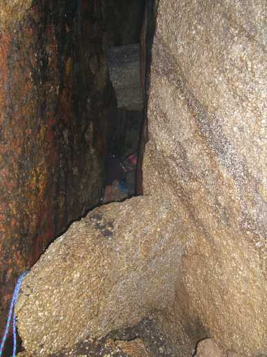
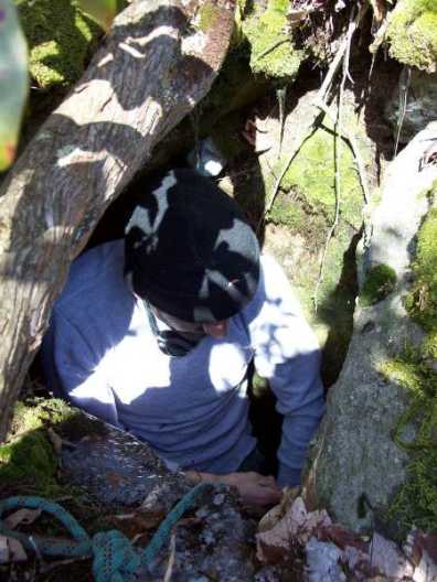
Nick and Chickey in passage
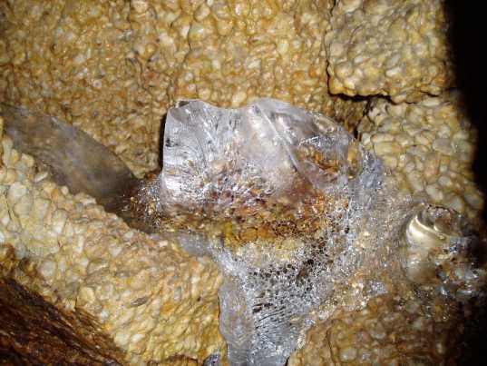
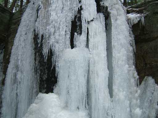
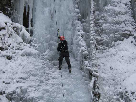
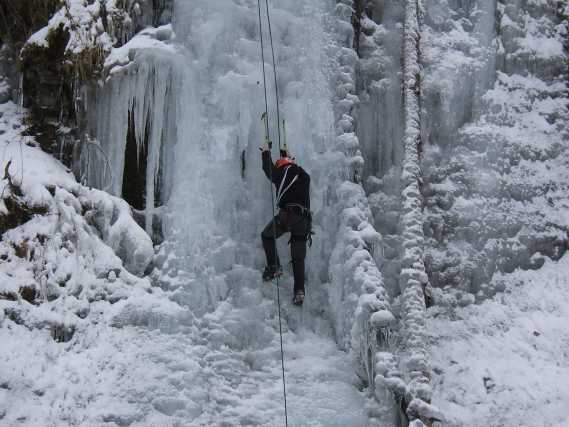
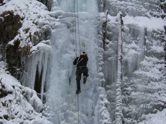
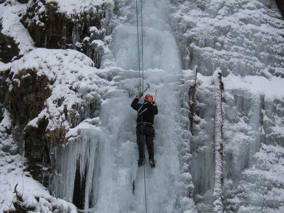
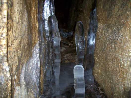
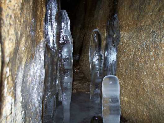
Nice ice
Ice on walls of cave
Looking back up
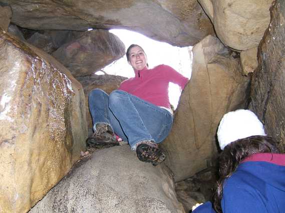
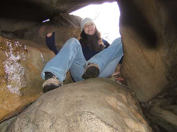
Roman and Nick in Savannah's Hole Cave
Looking out of Savannah's Hole
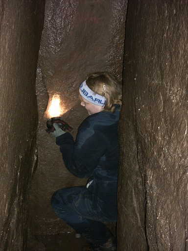
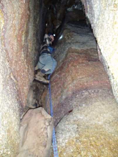
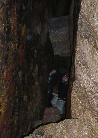
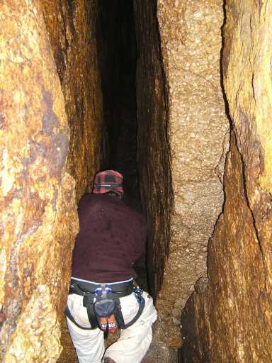
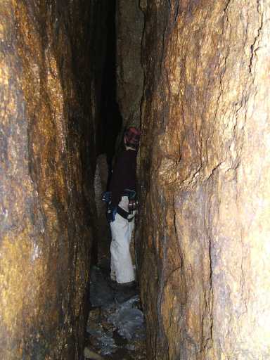
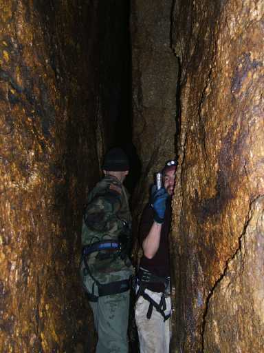
Nick in a tight passage
Roman in the cave
Nick, the first to enter this newly found cave
Jeff, the second one in
Susie having fun!
Just after the "first drop" inside the cave
Nick looking back
Nick below a drop or climb
Jeff in a "room"
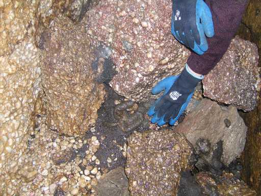
"Mystery Scat", most likely "panther"?

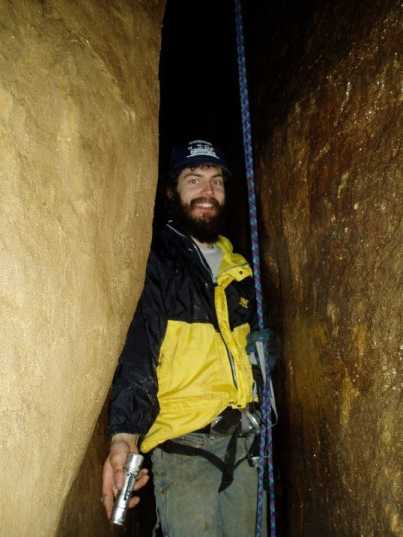
Jeff, still "on rope"
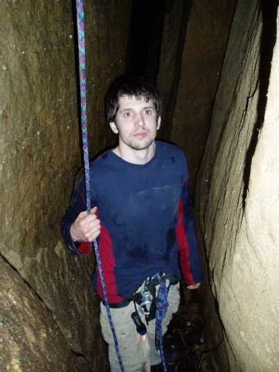
Nick "off rope"
Note the humid air
A "cat walk" along the wall?
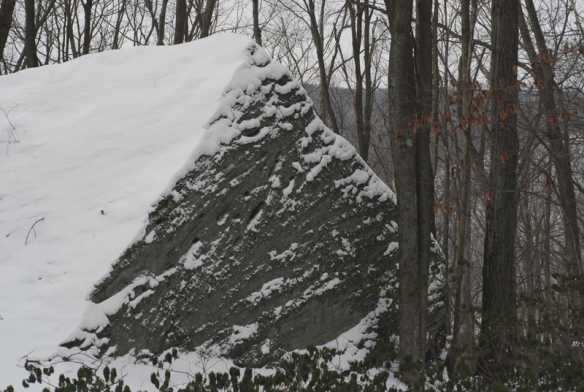
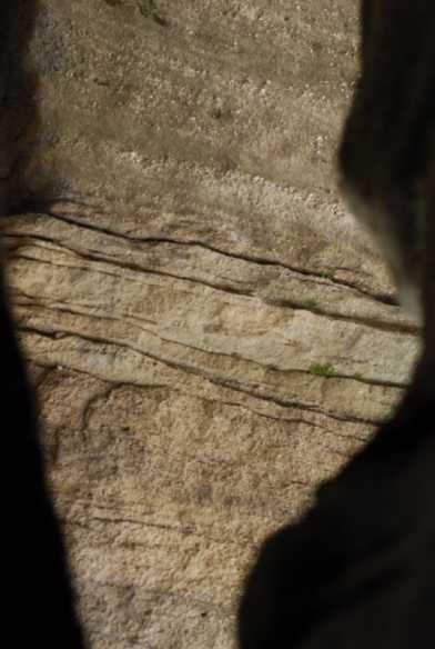
Quartz Conglomerate Rock
Nick in wide passage
Solid, flat floor
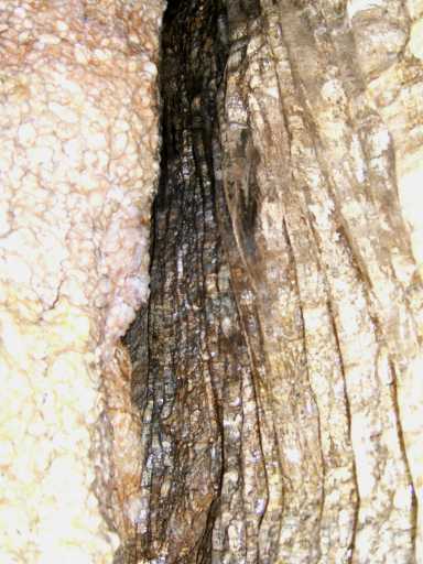
The cave wall is de-laminating
End of the line?
Now THAT is humidity!
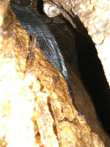
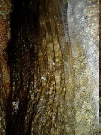
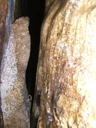
Ice on the cave wall
More ice
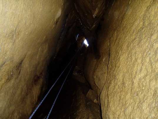
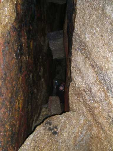
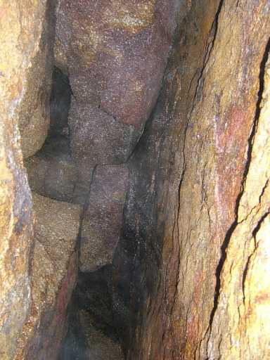
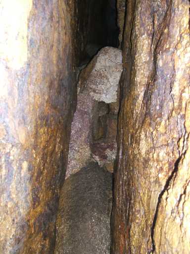
Narrow passages, not the iron in the cave walls
"Cave Twister"!
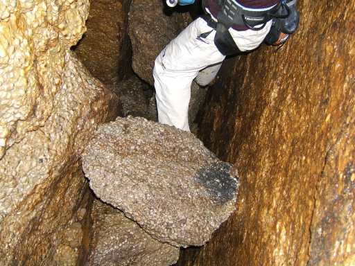
Big pebbles
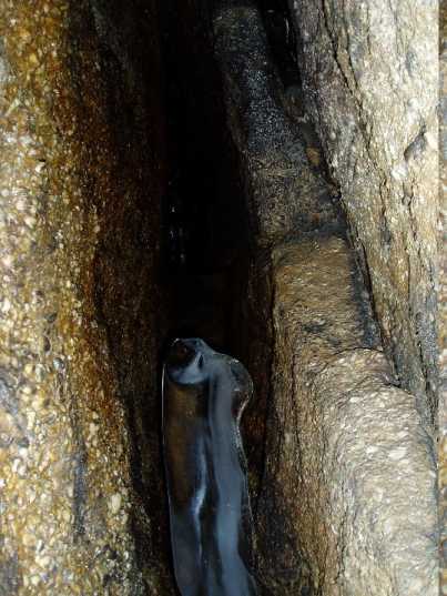
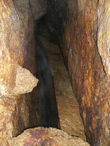
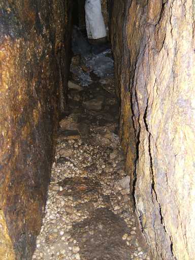
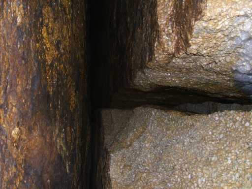
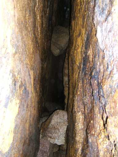
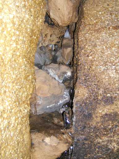
Typical passage
Lot's of Iron!
Ice in the rocks
Dead end passage!
Here is the second cave that Nick went into alone:
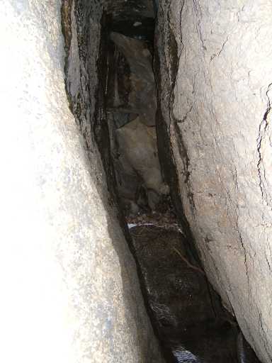
Narrow, sloped passage
Light from above
The lower "exit" of cave
The next cave, the "Batsickle Cave"
Jeff enters the Batsickle Cave
Moving sticks
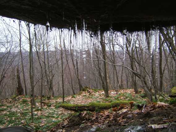
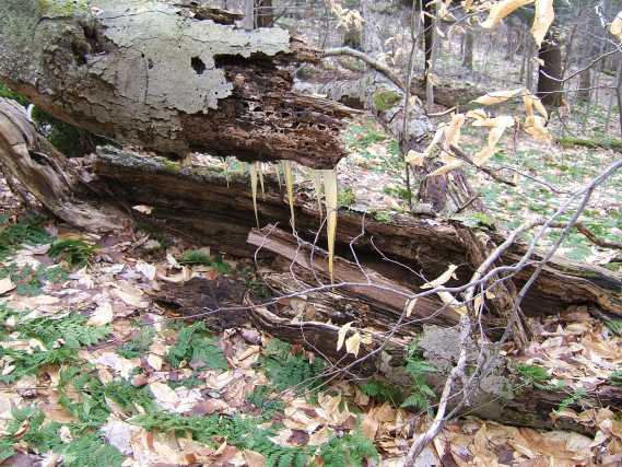
The "Batsickles"
Baseball bat shaped ice stalagmites
Tombstone rock near the Batsickle Cave
Fran's side trip to see a railroad switch and old hotel location
Large boulder near the switch
Another view of boulder
The switch and location of old hotel
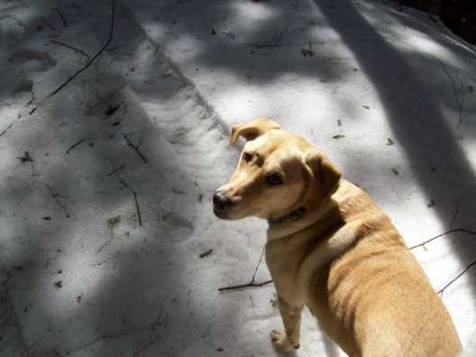
Sadie went with Fran
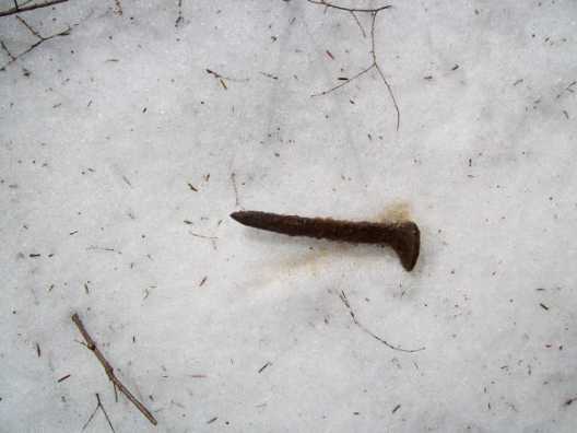
Fran even found a rail road spike!
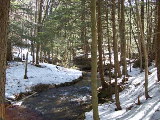
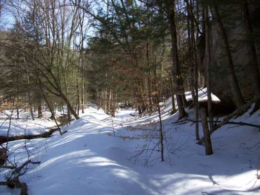
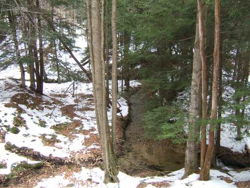
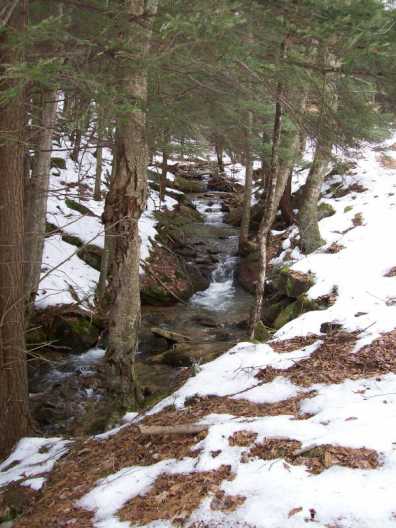
The creek near the switch
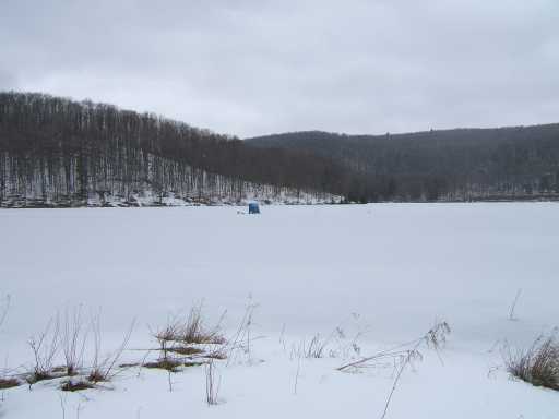
The railroad grade
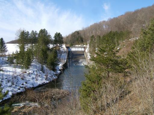
The Hefner Reservoir spillway and beaver home
John in passageway
Another corridor passageway
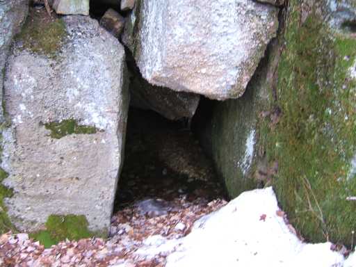
Yet another cave entrance
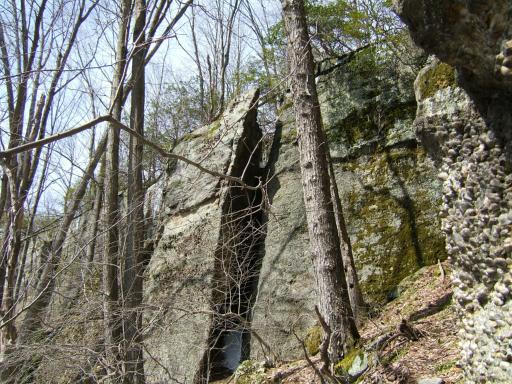
A tall and narrow opening
The holy grail of lunch spots
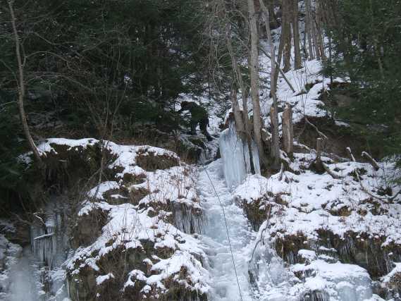
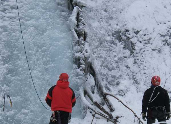
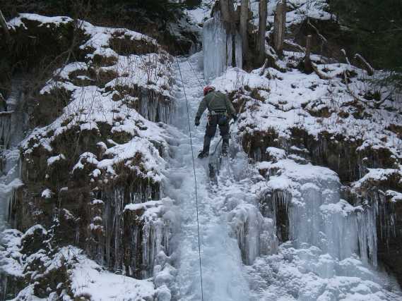
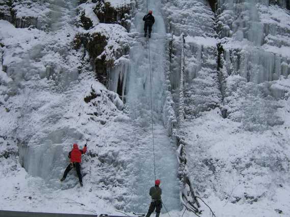
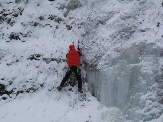
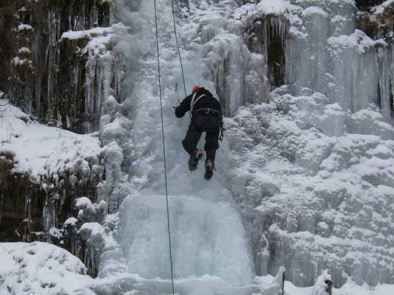
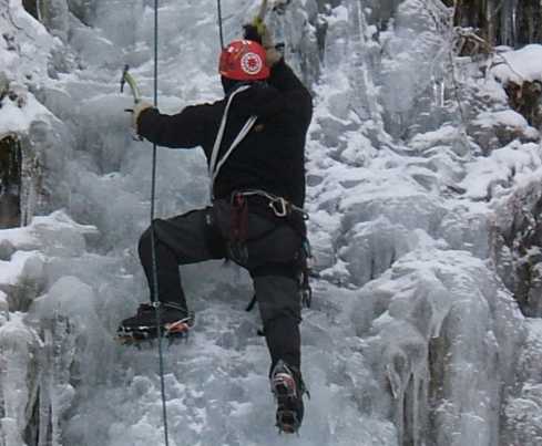
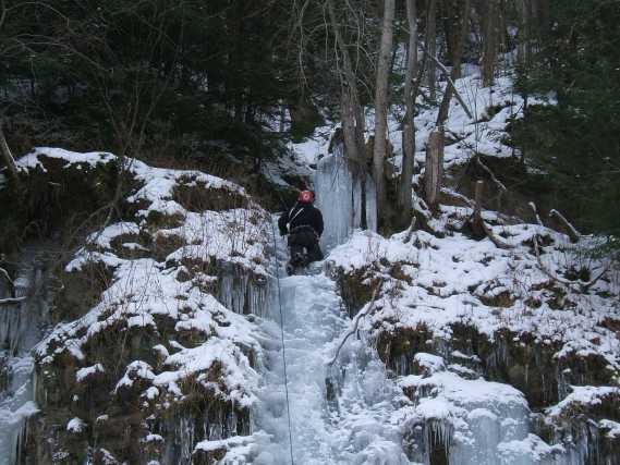
many nice climbs
Click to enlarge
And Ice fishing shanty
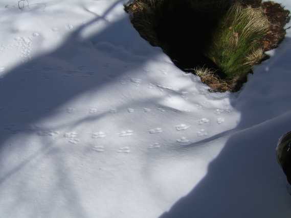
A bunch of "negative tracks"
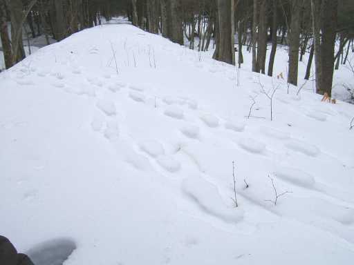
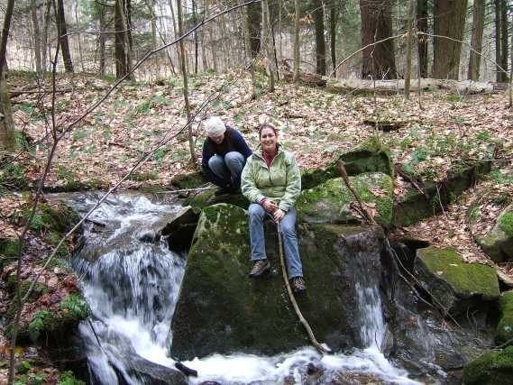
Fran and Susie on the Inclined Plane
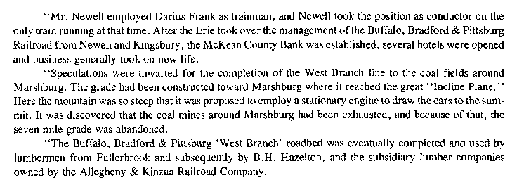
One of the water storage ponds
The sun shining on the way back
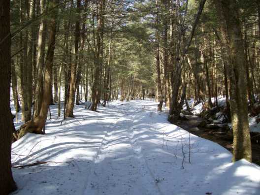
The road in to Rim Rock
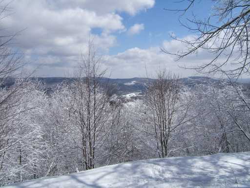
The Summit Trails at the ASP
A freshly groomed trail with new snow
Beautiful!
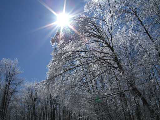
Sun shining through ice covered trees
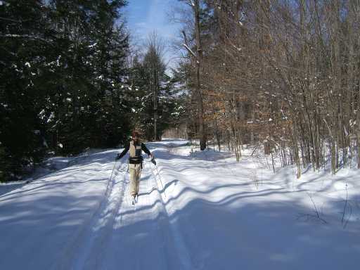
Nick on the gorgeous trail through deep snow! PERFECT conditions!
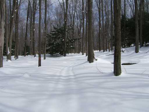
Our trail to Colosimos Rocks
Jeff, Nick, Carla and Porscha ... What a wonderful day!
Nice Ice! The view overhead
Nick made the fire
The giant steps leading up to the Eagles Nest
Porscha looks a little scared after finding the Dead Man guarding the geocache!
The Bottomless Pit before we walk around on the tracks. Note the "dot tracks" in the upper left.
The Bottomless Pit as we left it. We dug down with our gloved hands to the dirt or ground surface. My dog Sadie also "sniffed" around the hole and did not seem to find anything interesting.
The guys in an overhang shelter
On top of the dike
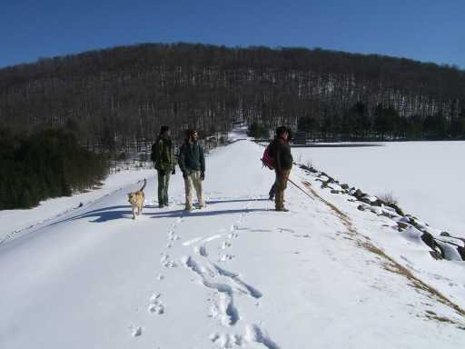
The reservoir dike - The West Corydon Res, AKA the Hefner Reservoir Bradford
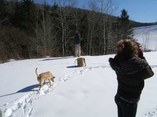
Nick and his trappers basket backpack
Near the top of the climb, note the bridge in the background
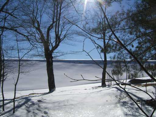
Although there were trees, you could easily see all the hills across the water
Steeper than it looks
There were animal tracks among the rocks
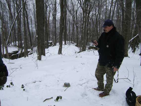
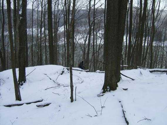
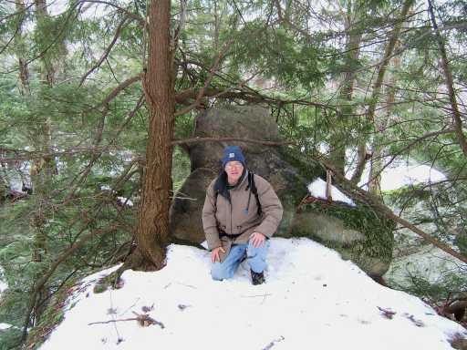
Al checking elevation.
The elevation on the marker and his GPS eventually "agreed" it was 1936' above sea level
Very fresh coyote tracks
On top of the rocks
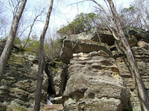
Boulders the size of buildings
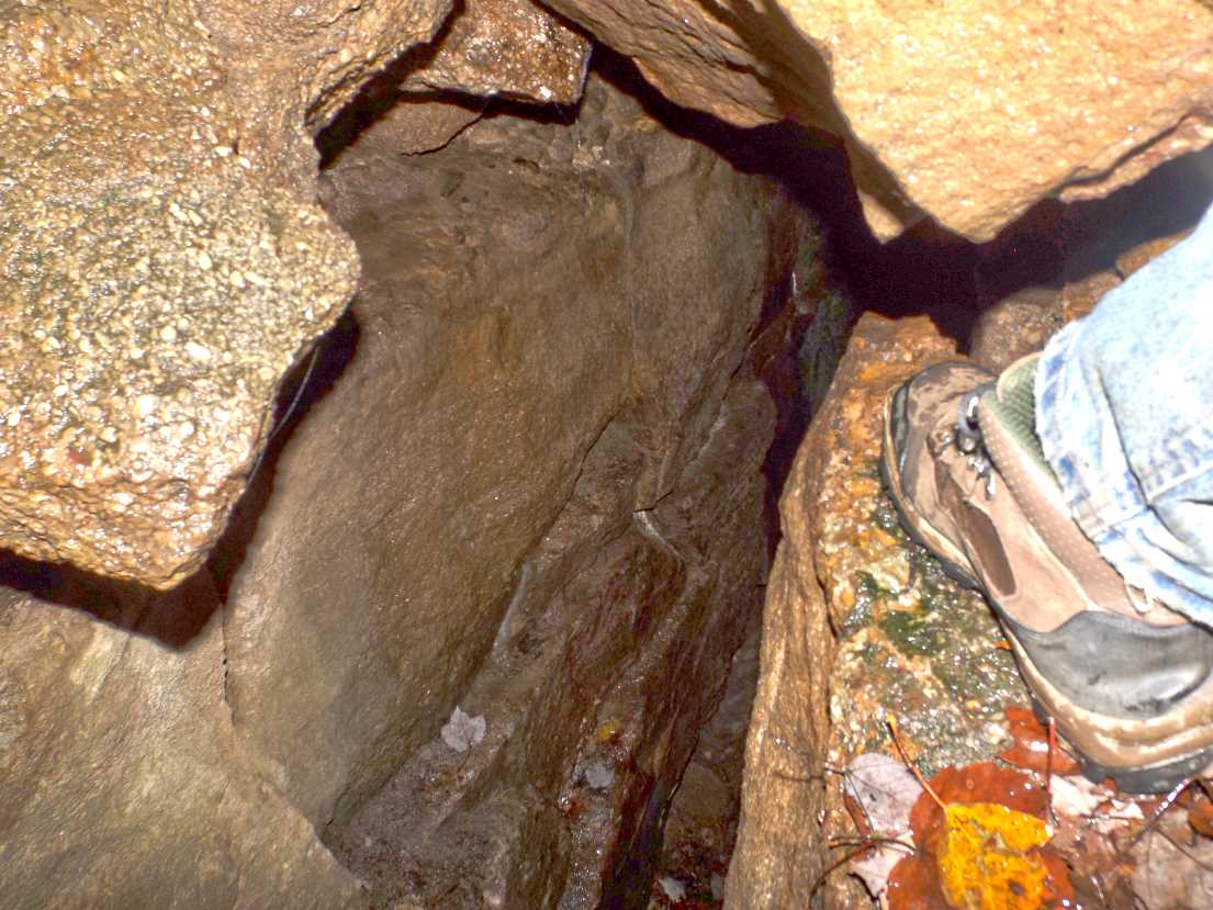
A typical passage way
Quartz Conglomerate Sandstone rock
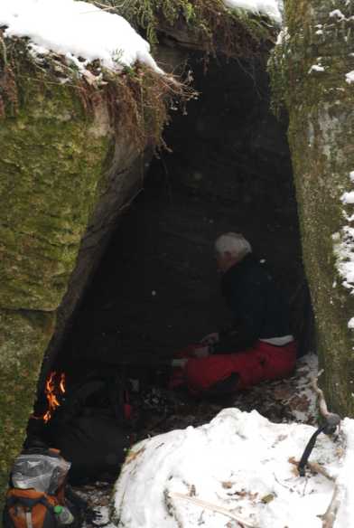
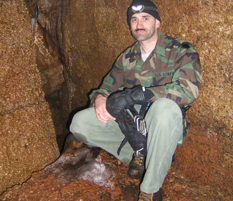
Our kitchen area, the small room with the fire. This is Will, Nic's dad
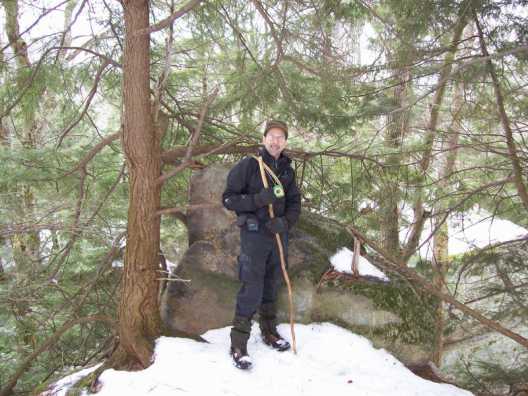
Nic and I on the hike back down
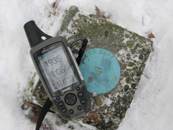
Elevation: GPS-1935' Benchmark-1936'
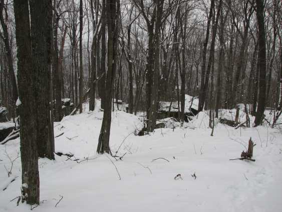
Top of the rock area
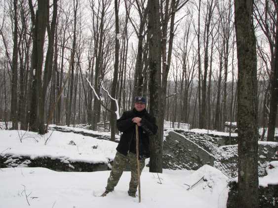
Al on the rocks
The rock area from an aerial photo. Each rock is the size of a house. Note the upper rows of rocks. The corridors between the rocks are 15-20 feet tall or so.
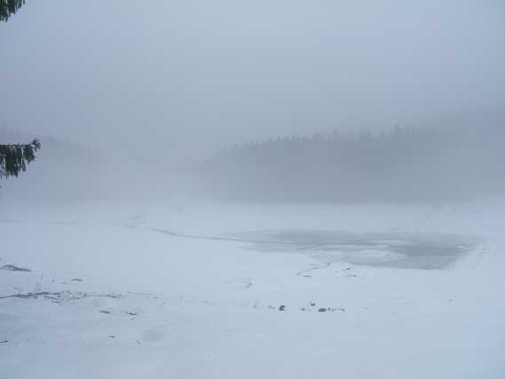
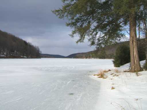
This is the Marilla Reservoir from last Saturday (Jan 5th)
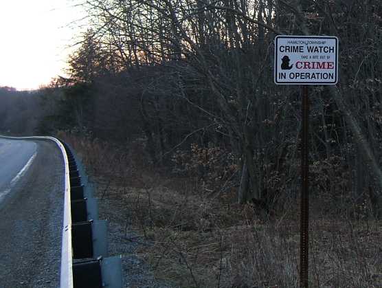
What is a neighborhood crime watch doing in the middle of nowhere (321 south of the Bradford Ranger Station). Are they watching for environmental crimes?
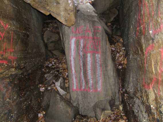
God bless America and the right to paint graffiti!
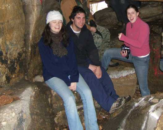
Amber, Jose, and Megan
The group and I in the "big" cave
Megan about to exit
Amber about to exit
Ice sickles hanging from cave ceiling
Amber and Megan on an American Chestnut "natural" bench
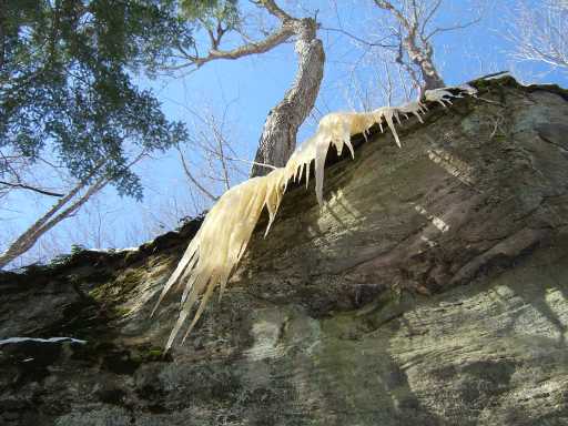
Yellow sickles!
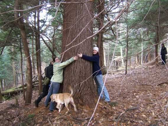
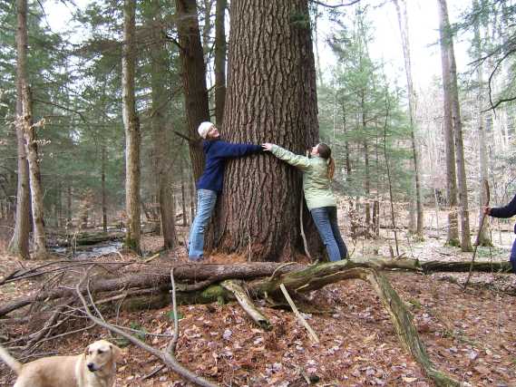
A giant white pine between rock areas (300 years old or older?)
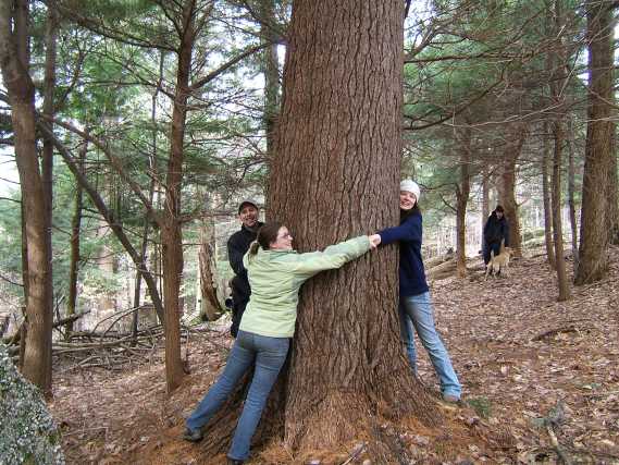
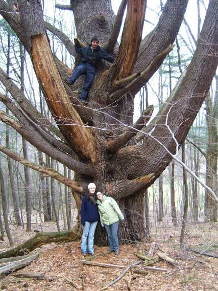
It took three tree huggers to hug this one!
A natural hollowed out canoe! "Let's shoot the rapids"!
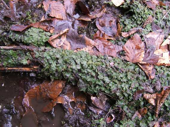
Liverwort
The creek scalloped this rock
A waterfalls in this rock
A water stairway in the bedrock
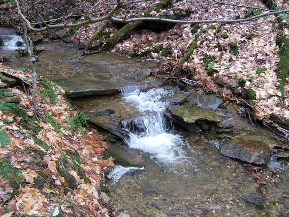
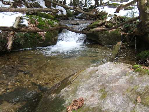
One of many waterfalls on Waterfalls Run
The drop is less steep near the bottom
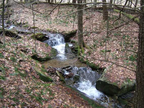
Two small falls in a row
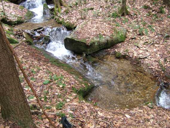
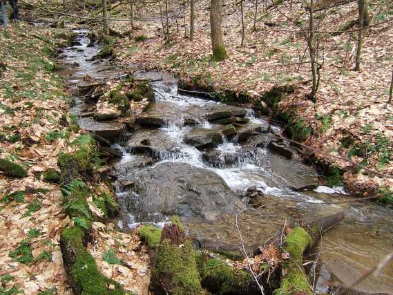
Lots of white gravel in the creek (from the Quartz Conglomerate)
Amber and Megan
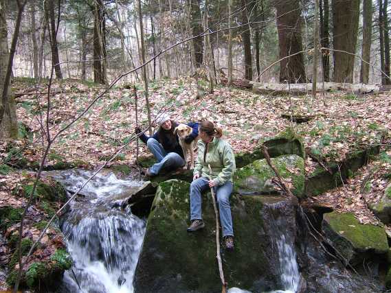
All three gals, Amber, Sadie and Megan
Miss Marilla on Little Marilla Creek
The giant white pine they call the "Tree House Tree" behind the nursing home on Langmaid Lane in Bradford (550 years old?)
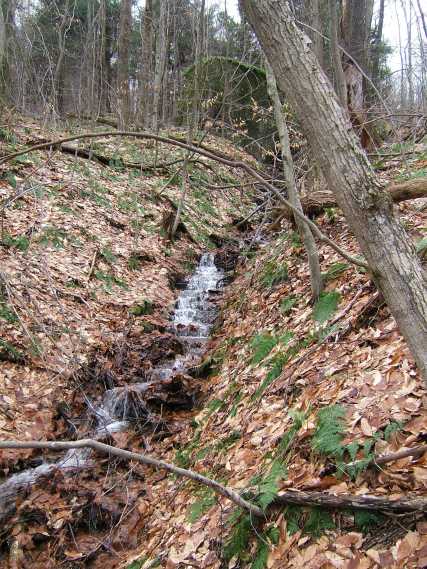
The very scenic creek with too many waterfalls to count!
"Bat wing" patterns frozen into this ice
An abandon mill pond (1800's)
The creek makes two 90 degree bends
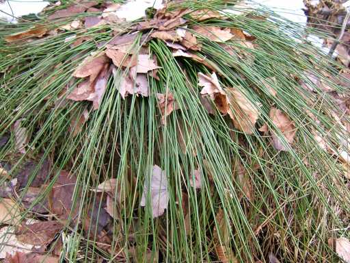
What kind of grass is this? It's got round hollow leaves
A hollowed out woodpecker tree
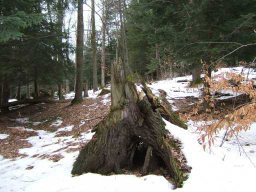
"Rebirth" a hemlock stump with a birch tree growing from it
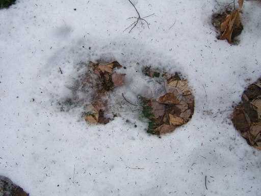
Bigfoot track. It was 16" long and 10" wide with toes. We followed the track for quite a while. We found some better ones that were less melted, but didn't photograph well. Surely these are positive proof of a Bigfoot!
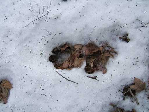
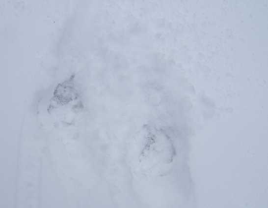
These are just large bear tracks
I'm on one of the first points at the rock area. I'm about 60' up on this narrow ridge
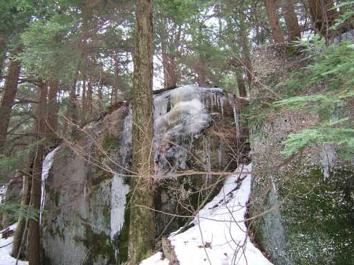
An ice flow from below
Fran against a rock wall
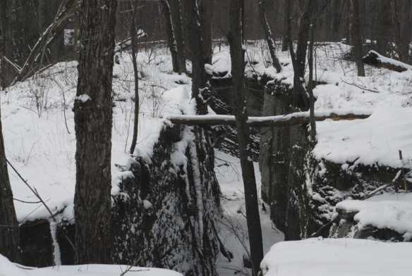
Cave entrances! Can't wait to explore these!
Another cave entrance! This one had a deep water pool in it
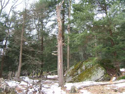
A tree the porkies are eating
A free standing boulder
Plenty of passage ways
Yet another walk-in cave
This is more of an animal den, Bobcat?
A passage in the rocks, note the table rock above
This larger walk-in cave entrance had very large cat prints leading into it. The main passage goes to the right. The cat prints were in the snow and the sand (wet) in the cave
There may be many walk-in caves, but most are occupied in this season.
These hollow trees also house bats in the summer
Here is where the rock wall face peters out to just random rocks
Another den cave with animal prints. This may be a bear den
This may be the highest drop, about 80' or so.
There were too many dens and cave openings to count!
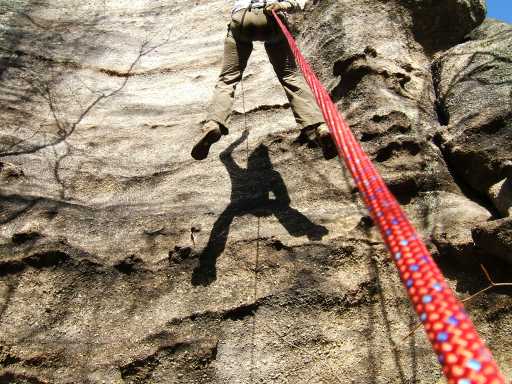
Another large rappel or climbing rock
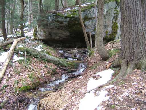
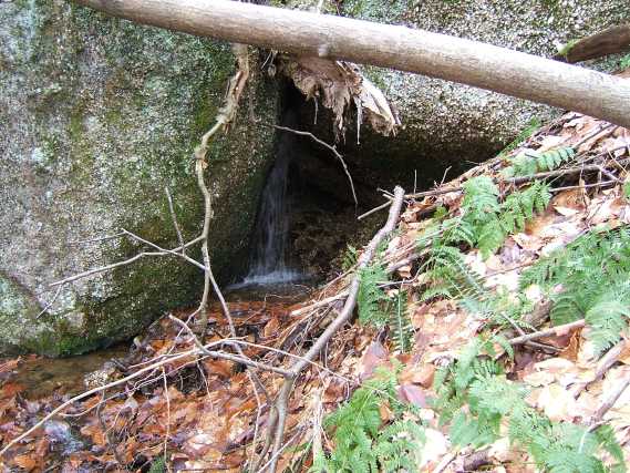
A spring coming from under this rock
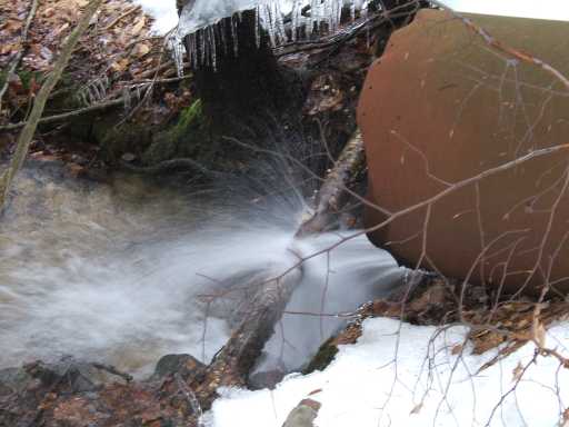
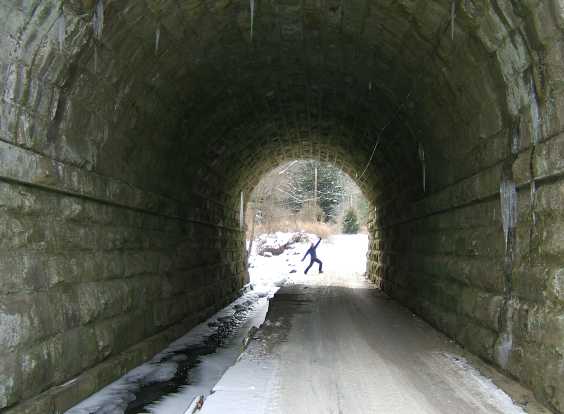
Down at the main road in, this is a very old culvert
From Frans camera:
Me! In the mouth of a cave
A view from the top
The creek coming from the rocks
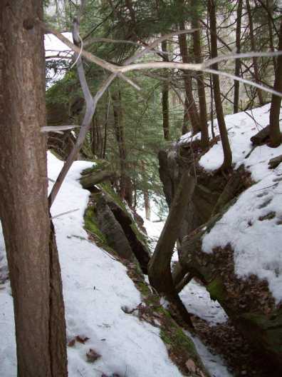
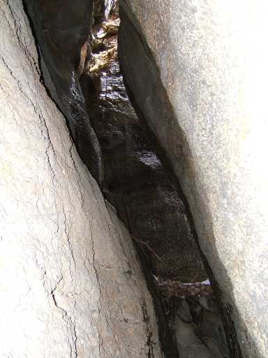
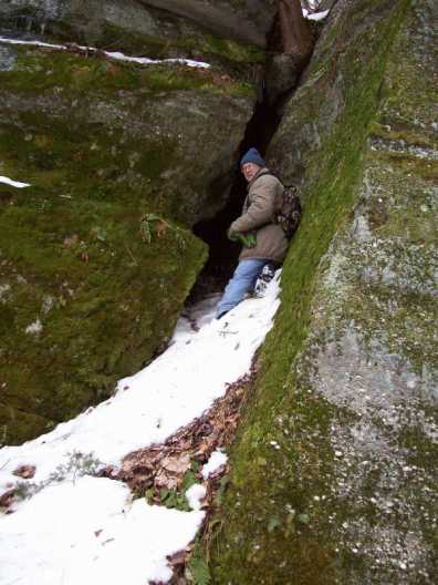
A typical crevice
Fran at the first peak
The railroad spur with ties