Table Rock, SC |
|
Table Rock is located around 35 miles North of Clemson, SC. The best period to plan this day hike is sometime around Oct-Nov when its not too hot and winter is yet to make its appearance. The total elevation travelled in this hike is around 3250 ft. The difficulty rating on a scale of 1-5 would be 3. View this Panaromic scenery witnessed from yet another peak in the same valley : Ceaser Head. The Table rock could be seen in the very far background. | ||
 |
The picture shows the full face of table rock. The destination was to reach the top of the same. | |
| Table Rock. From left: Mihir, Abhijit, Nikhil | ||
| A difficulty rating of 3 does not mean it's going to be easy going all the way. One such moment is captured in this picture where the gradient suddenly increases and makes the route tricky. This steep slope led us to a clearing effecting the half point (1.5 mi.) marker. Click to view the Panaromic-View of the surrounding from the half point area. |

|
|
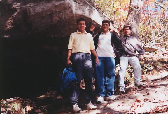
| The steep trail. From left: Nikhil, Amol, Mihir | ||

|
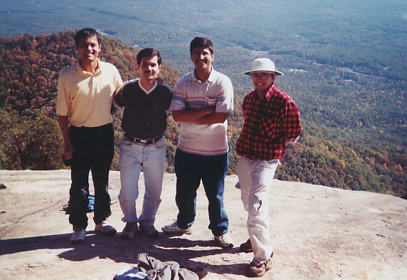
A total distance of 3 miles and we had reached the top. The view was spectacular from this point too, however the actual end of the trail was a further 600 yards left of this point. | |
| View from the top. From left:Nikhil, Mihir, Amol, Abhijit | ||
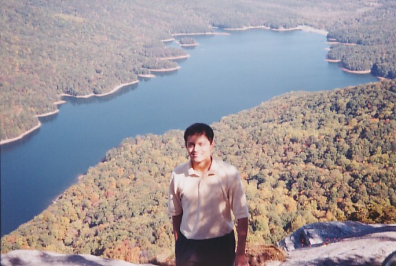
| It was an awesome sight from the top of the Table rock. I was thrilled at the sight comprising of the vast forest, mountain tops, and the massive lake. I could not resist the temptation of creating a Panaromic View of the scenery as witnessed from the top. |

|
|
| The view from the top of the Rock. | ||