
PRINTABLE
Route 66
Maps

Please be patient. . . . the plans for
"Summer Run to the Pacific"
are
at best.
|
- John Steinbeck |
|
|
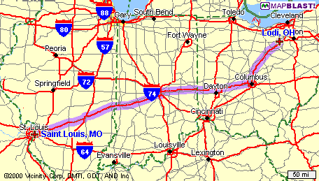
| Lodi, OH to St. Louis (Eureka), MO |
| St. Louis, MO to Joplin, MO |
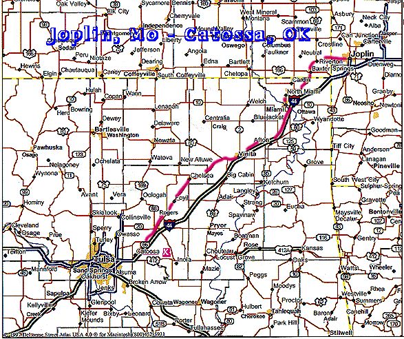
| Joplin, MO to Catossa, OK |
| CATOOSA,
OK TO TUCUMCARI, NM
|
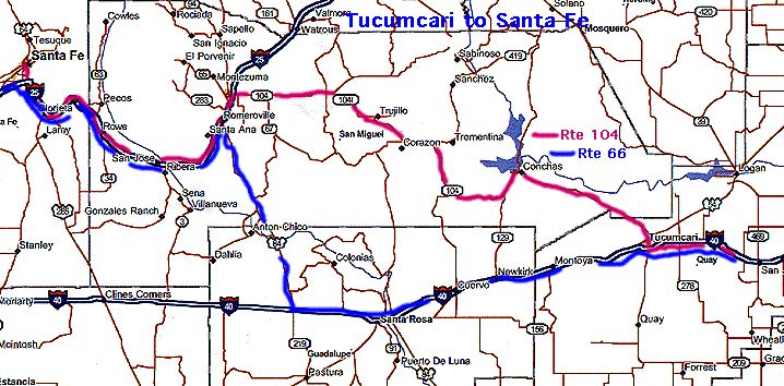
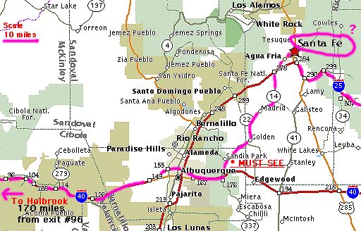
| TUCUMCARI, NM to Santa, Fe, NM |
| Santa Fe, NM to Holbrook, AZ |
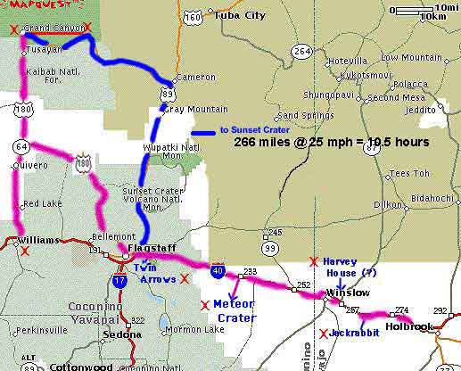
| Holbrook,
AZ to Williams, AZ
|
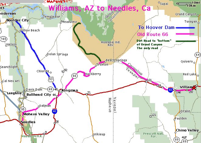
| WILLIAMS, AZ TO NEEDLES, CA |
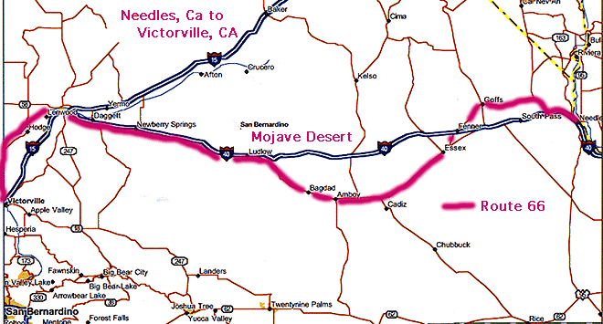
| Needles, CA to Victorville, CA |
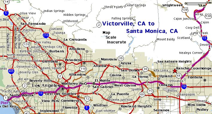
| Victorville Ca to Santa Monica, CA |
| Los Angeles, CA to Las Vegas, NV |
| Las Vegas to Green River, UT |
| Green River, UT to North Platte, NE |
| North Platte, NE to Dyersville, IA |
| Dyersville, IA to Home |
| . |
| . |
.
The above maps are for information ONLY. Please get maps from whatever
sources you like.
I got mine from: |
|
